Catalog Archive
Auction 179, Lot 668

"Romani Imperii qua Oriens est Descriptio Geographica", Sanson, Nicolas

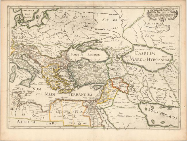
Subject: Eastern Mediterranean & Middle East

Period: 1679 (dated)

Publication:

Color: Hand Color

Size:
22.1 x 15.8 inches
56.1 x 40.1 cm
Download High Resolution Image
(or just click on image to launch the Zoom viewer)

This handsome map covers the eastern part of the Roman Empire. It extends from Corsica and Sardinia through the Caspian Sea and the Persian Gulf. The map is well engraved in Sanson's scientific style and embellished only with a small title cartouche.

References: cf. Pastoureau, Sanson V A [103].

Condition: A

Contemporary outline color on a sheet with an elaborate coat of arms watermark. There is light printer's ink residue, especially concentrated at top and at bottom right, and marginal toning.

Estimate: $240 - $300

Sold for: $125

Closed on 9/16/2020

Archived