Catalog Archive
Auction 179, Lot 664

"Nouvelle Carte de l'Archipel fait pars les Sieurs Michelot Pilote Royal, & Bremond Hydrographe du Roy", Michelot, Henri

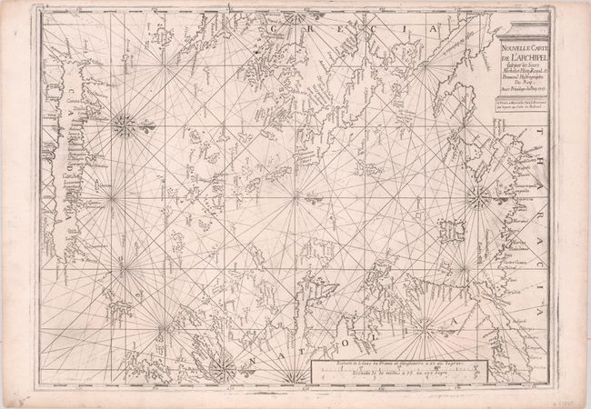
Subject: Eastern Mediterranean

Period: 1715 (dated)

Publication:

Color: Black & White

Size:
25.1 x 18.4 inches
63.8 x 46.7 cm
Download High Resolution Image
(or just click on image to launch the Zoom viewer)

This beautifully engraved sea chart by Henri Michelot and Laurent Bremond covers the Aegean Sea in great detail. It spans from Thrace south to Crete and includes a significant stretch of the Greek and Turkish coastlines. Numerous islands are identified. Place names line the coasts, but there is no inland detail. The chart is crisscrossed with rhumb lines and multiple decorative compass roses orient north to the right. The title is enclosed in a cartouche inspired by classical architecture. A distance scale appears at bottom. Engraved by Coelemans.

References: Shirley (BL Atlases) M.MICH-1a.

Condition: A

A slightly uneven impression with some printer's ink residue on a bright sheet with a sun watermark.

Estimate: $800 - $950

Sold for: $500

Closed on 9/16/2020

Archived