Catalog Archive
Auction 179, Lot 541
"A New Map of Spain and Portugal, Divided Into Their Respective Kingdoms and Provinces from the Latest Authorities", Cary, John
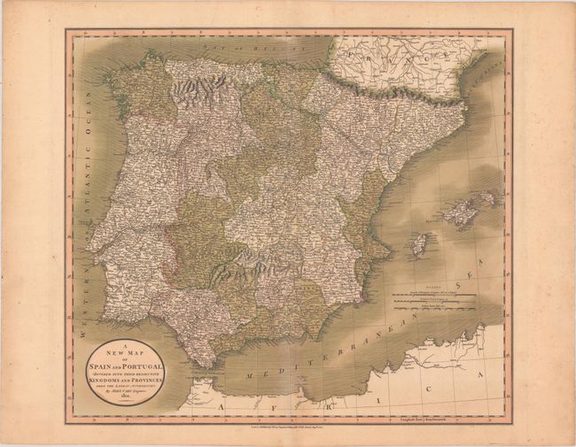
Subject: Spain & Portugal
Period: 1801 (dated)
Publication:
Color: Hand Color
Size:
20.2 x 17.9 inches
51.3 x 45.5 cm
Download High Resolution Image
(or just click on image to launch the Zoom viewer)
(or just click on image to launch the Zoom viewer)