Catalog Archive
Auction 179, Lot 513

"Dominii Frisiae Tabula, Inter Fleuvum et Lavicam, Auctore B. Schotano a Sterringa", Visscher, Nicolas

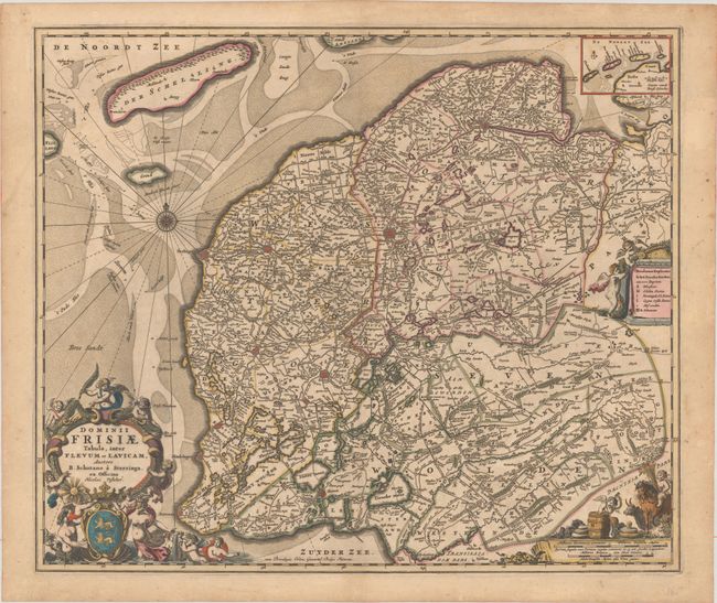
Subject: Northern Netherlands

Period: 1685 (circa)

Publication:

Color: Hand Color

Size:
22.1 x 18.6 inches
56.1 x 47.2 cm
Download High Resolution Image
(or just click on image to launch the Zoom viewer)

Based on Blaeu's map of the province of Friesland, this map shows the fortified cities, lakes, rivers, roads, and many small settlements. The Frisian islands of Ameland, Terschelling and Vlieland form the separation of the Waddenzee and the North Sea, and are also depicted in a small inset at top right. Three lavishly decorated cartouches feature both maritime and agricultural symbols, including merpeople and livestock.

References:

Condition: B+

Full contemporary color with very light toning and soiling.

Estimate: $275 - $350

Sold for: $200

Closed on 9/16/2020

Archived