Catalog Archive
Auction 179, Lot 427
NO RESERVE
"Carte du Paraguay et Partie des Pays Adjacants Projettee et Assujettie aux Observations Astronomiq.", Bonne/Lattre
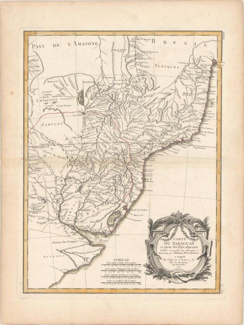
Subject: Paraguay, Uruguay & Brazil
Period: 1771 (dated)
Publication:
Color: Hand Color
Size:
12.8 x 16.6 inches
32.5 x 42.2 cm
Download High Resolution Image
(or just click on image to launch the Zoom viewer)
(or just click on image to launch the Zoom viewer)