Catalog Archive
Auction 179, Lot 39

"Facies Poli Arctici Adiacentiumque ei Regionum ex Recentissimis Itinerariis Delineata...", Weigel, Christopher
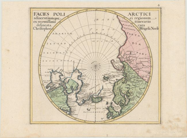
Subject: North Pole

Period: 1734 (circa)

Publication: Atlas Scholasticus

Color: Hand Color

Size:
14.3 x 12.7 inches
36.3 x 32.3 cm
Download High Resolution Image
(or just click on image to launch the Zoom viewer)

Uncommon polar chart that labels present-day northwestern America America Septentrionalia Incognita and shows no western coast at all. Includes good detail of the northern reaches of Europe, Russia and eastern North America around Baffin's and Button's Bays. Locates Sir Thomas Smith's Bay, Sir Dudley Digs' Cape, and scores of other place names. Port Nelson and Briggs his Bay are the furthest west in North America. A rarely seen and desirable polar chart.

References: Kershaw #414.

Condition: A

A dark impression on a watermarked sheet with an extraneous vertical crease at left and some minor soiling mostly in the bottom blank margin.

Estimate: $300 - $375

Sold for: $220

Closed on 9/16/2020

Archived