Catalog Archive
Auction 179, Lot 379

"Les Isles Turques d'Apres les Levees de 1753 par le Sloop l'Aigle et l'Emeraude...", Le Rouge, George Louis

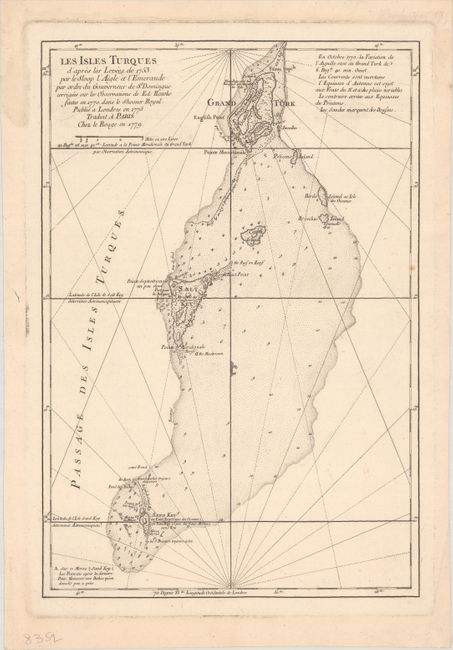
Subject: Turks Islands

Period: 1779 (dated)

Publication:

Color: Black & White

Size:
12.1 x 17.8 inches
30.7 x 45.2 cm
Download High Resolution Image
(or just click on image to launch the Zoom viewer)

This uncommon sea chart covers the Turks Islands archipelago from Grand Turk south to Big Sand Cay. It is copied from a chart that appeared in Jefferys' West-India Atlas that was based on a 1753 survey ordered by the French governor of Hispaniola. The various islands are shown with some topographical detail. Depth soundings, anchorages, shoals, and other navigational information appears in the waters.

References: Shirley (BL Atlases) M.LER-3a #3.

Condition: A

A sharp impression on a sheet with a rosary beads watermark. There are a few minor spots and a touch of soiling.

Estimate: $140 - $170

Sold for: $400

Closed on 9/16/2020

Archived