Subject: Oklahoma
Period: 1893 (dated)
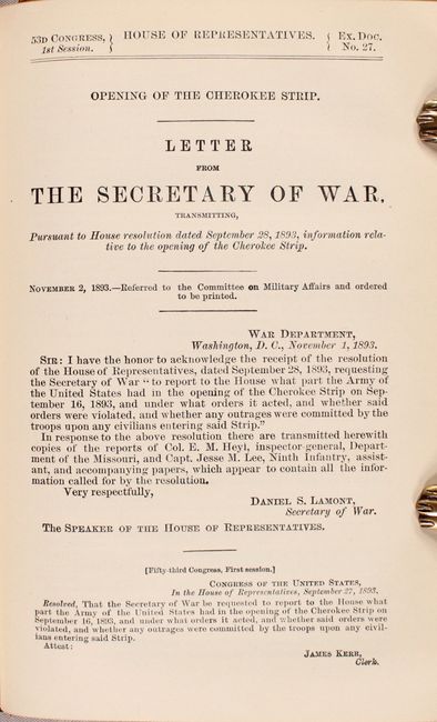
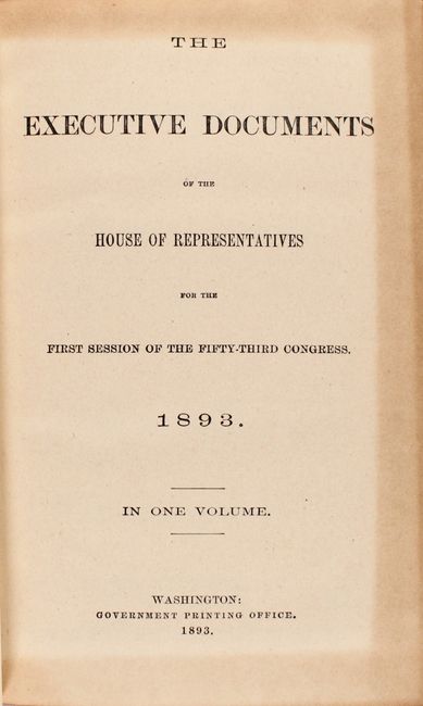
Publication: House Doc. #27, 53rd Congress, 1st Session
Color: Black & White
Size:
32.7 x 19.9 inches
83.1 x 50.5 cm
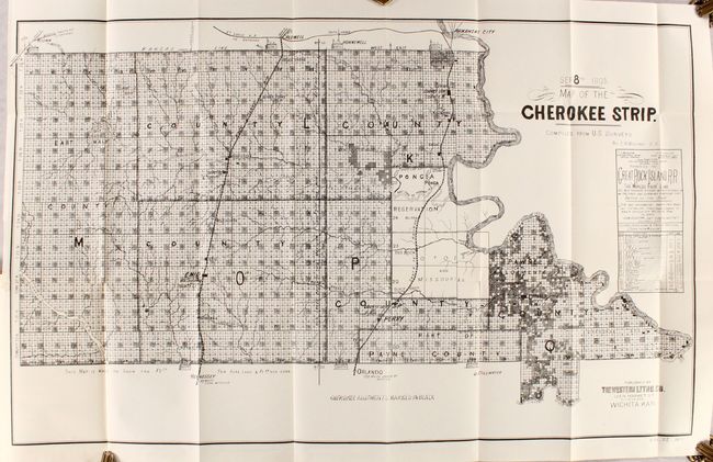
The Cherokee Outlet, about 12,000 square miles in present-day western Oklahoma, was purchased from the Cherokee in 1861. On September 16, 1893, it was opened for settlement with over 100,000 settlers braced on the opening lines. This map details the parcels available at $2.50 and $1.50 per acre. It locates the seven starting booths, plus the railroads, villages and towns, and topographical and watershed information. The reserved Cherokee Allotments are marked on the map in black. This remarkable document illustrates one of the greatest land rushes in history. Published by Western Litho. Co., Wichita, Kansas. The map is accompanied by the original 86 page report entitled the "Opening of the Cherokee Strip."
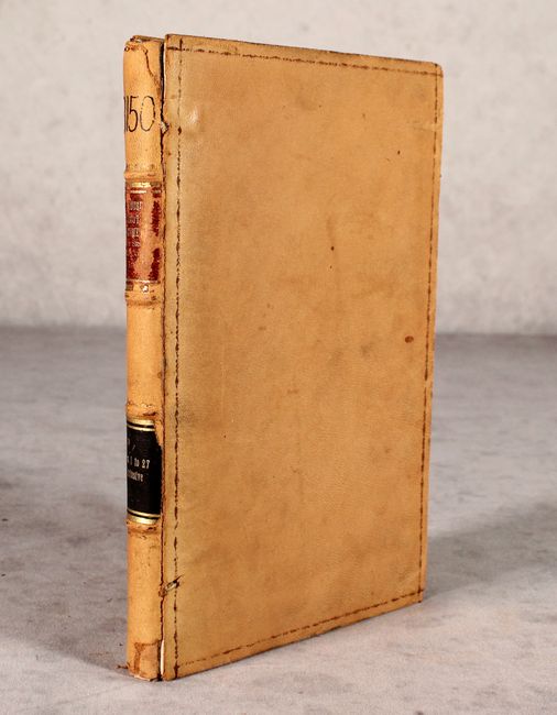
The map is still bound into the volume containing a total of 26 congressional reports (unpaginated). Thin octavo, hardbound in congressional leather with gilt title labels on spine.
References:
Condition: A
Condition code is for the map which is near fine with a tiny binding tear confined to the left blank margin. Report text is very good with a hint of toning. The front board is nearly detached, the rear board is starting, and the covers are worn.