Subject: Eastern New York
Period: 1903 (dated)
Publication:
Color: Printed Color
Size:
26.2 x 40.6 inches
66.5 x 103.1 cm
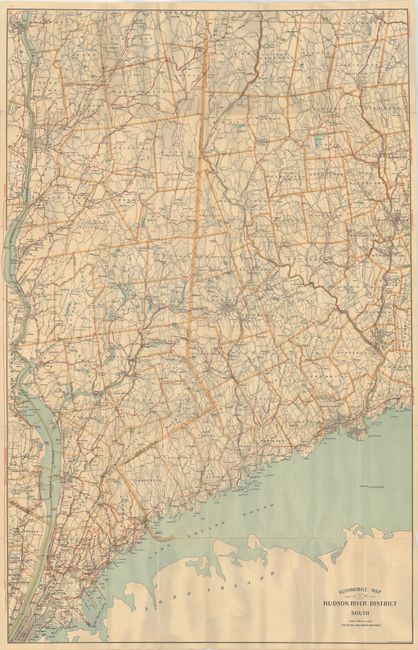
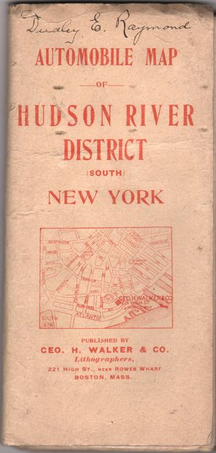
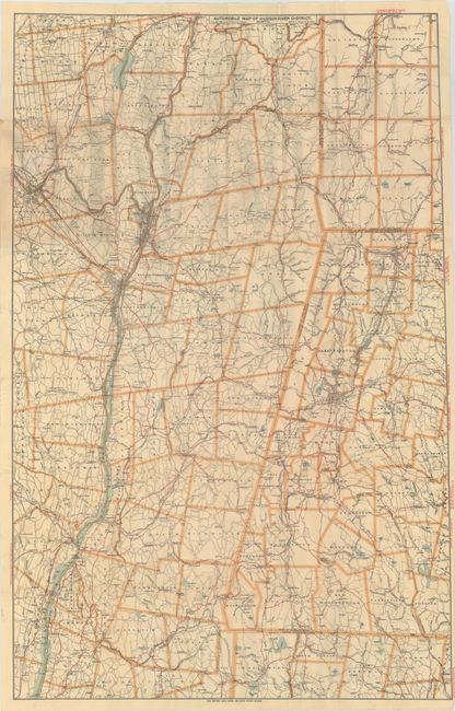
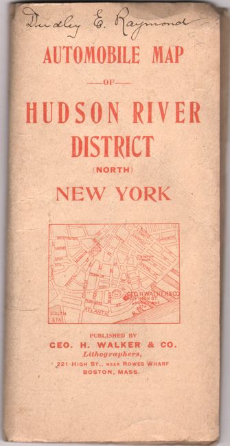
A huge pair of maps that together cover the region from Manhattan east to Bridgeport, CT and north to Saratoga Springs, NY and southern Vermont. Shows the evolving road network with good roads highlighted in red overprinting and "dotted lines indicate poor roads." Mileages between points have been included for ease of use. In addition to roads, the maps show the street-grid pattern of the larger cities, post offices, rivers, lake and more. According to Ristow’s seminal article “A Half Century of Oil-Company Maps,” separate automobile road maps began to appear “as early as 1902.” These two maps therefore are among the earliest automobile specific road maps. However, their high price ($2.00 each – the equivalent of $60 in 2020) and awkward size precluded wide acceptance and use. Each map folds into paper wrappers (3.5 x 7.5").
References:
Condition: B+
Issued folding on clean, bright sheets with numerous short splits at the fold junctions. The "South" map has a 6" edge tear at left and a few separations that have been closed on verso with archival tape. Paper wrappers have light wear with a previous owner's signatures at top.