Subject: New Haven, Connecticut
Period: 1852 (dated)
Publication:
Color: Black & White
Size:
12.9 x 12.6 inches
32.8 x 32 cm
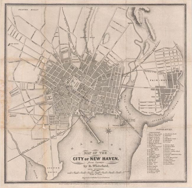
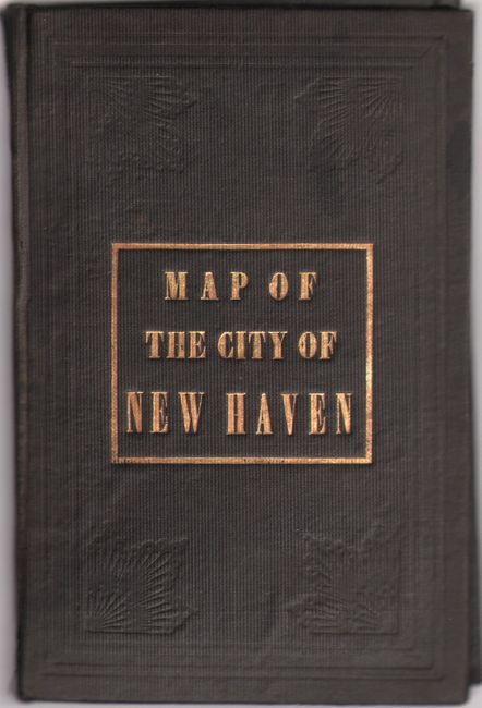
This scarce pocket map by civil engineer R. Whiteford presents the city of New Haven in plan form. There is excellent detail of the city's streets and railroads, and sites of interest such as Yale College, the State House, the city burial ground, and the state hospital are noted. A key at bottom right identifies 42 other notable buildings. Engraved and published by Lemuel Swift Punderson. The map is detached from black cloth covers with gilt title.
References:
Condition: B
Issued folding, now backed in archival tissue, with several small tears and chips that have been repaired on verso. There is some light toning and soiling primarily at left. Accompanying covers are lightly stained with cracking along the spine.