Catalog Archive
Auction 179, Lot 228

"Official Transportation and City Map of Los Angeles California and Suburbs",

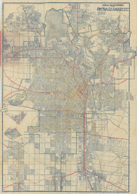
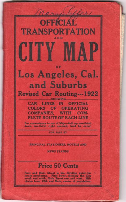
Subject: Los Angeles, California

Period: 1920 (dated)

Publication:

Color: Printed Color

Size:
31.5 x 44.1 inches
80 x 112 cm
Download High Resolution Image
(or just click on image to launch the Zoom viewer)

This large-scale map was published by Laura Whitlock, one of the few female mapmakers in the United States at the time. It shows the extensive rail lines in operation at the time and uses color to distinguish the lines of Los Angeles City, the Pacific Electric Railway, and the Glendale & Montrose Railway. The branch lines are also located and named: Whittier, Fullerton and La Habra; South Pasadena; So. Hollywood and Santa Monica Blvd; Laurel Canyon; the multi-track Pasadena Short Line, to mention a few. The map extends from La Ramada and Griffith Park in the north, south to Vermont Heights and Strawberry Avenue, west to Laurel Canyon and east to the New Calvary Cemetery on the Whittier Road. Locates Ascot Park. Griffith Park shows no development. Folds into printed red covers (5" x 8") with 16 page street index. On inside covers is a listing of all stations and stops for the Los Angeles Railway Company. Full page advertisement for the Pacific Electric Railway on back cover also lists all lines and stops while promising "Comfort, Speed, Safety and Elegance."

Whitlock's maps were frequently copied on the market, but she was very diligent in litigating to protect her copyright. In fact, one of Whitlock's maps was involved in the first conviction for copyright infringement in the United States. Click here for a newspaper story from the June 11, 1913 issue of the Los Angeles Herald detailing the conviction.

References:

Condition: B+

Issued folding on a clean sheet with several small separations mostly at the fold junctions. Wrappers have light wear.

Estimate: $200 - $250

Sold for: $275

Closed on 9/16/2020

Archived