Subject: Northwestern United States
Period: 1883 (published)
Publication:
Color: Printed Color
Size:
5.9 x 9.3 inches
15 x 23.6 cm
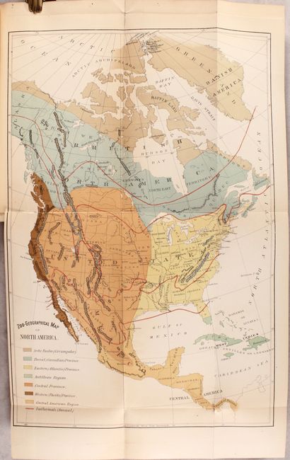
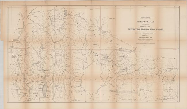
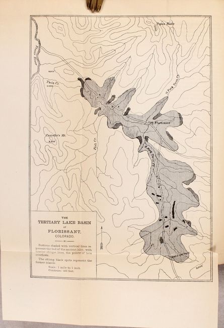
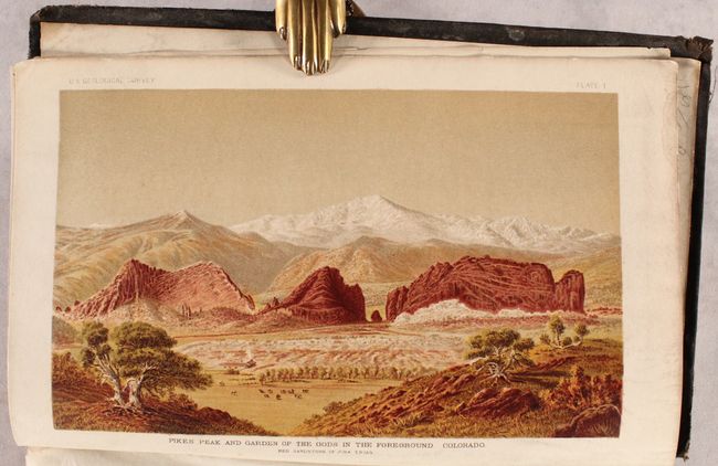
This is the first volume of the twelfth and final report of Hayden's Survey of the West. It includes numerous plates within the 809 pages of text including 21 fossil plates, 49 geological, 73 crustacia, 80 zoological, and 24 bird fossil plates. Features three folding maps (two are not listed) including the small Map of Tertiary Lake Basin (6 x 9"), Zoo-Geographical Map of North America (11 x 16") and the large Drainage Map Showing Portions of Wyoming, Idaho and Utah (36 x 20.5") with well developed watersheds including "Jackson's Lake" and Bear Lake. Although not noted in the list of illustrations, the volume also includes seven attractive chromolithographic views, the most interesting of which are the frontispiece of Pike’s Peak and the "Grand Teton Range, Mount Moran, Jackson’s Lake" plate, which is one of the earliest views of Jackson Hole. Thick octavo, hardbound in black cloth.
References:
Condition: B+
Maps, plates, and text are very good with overall light toning. The Zoo-Geographical map has a short repaired binding tear at left, and there is a small section of text with a small stain in the bottom right corner. The folding map is loose as are a few plates. A previous owner's stamp is on the front pastedown. Hinges are starting with the front board nearly detached. Covers are worn with bumped edges.