Subject: Nebraska & South Dakota
Period: 1894 (published)
Publication: Sen. Doc. 45, 53rd Congress, 1st Session
Color: Black & White
Size:
12.1 x 7.6 inches
30.7 x 19.3 cm
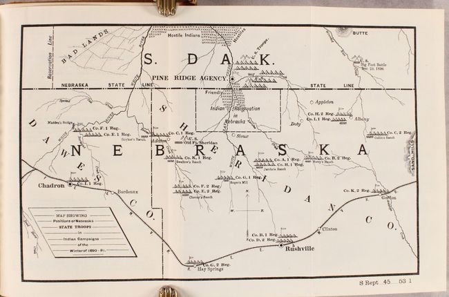
This fascinating map has considerable historical significance in that it shows the location of the Battle of Wounded Knee, here labeled as Big Foot Battle, Dec 29, 1890. A misunderstanding between soldiers and Indians waiting to surrender at Wounded Knee, South Dakota, touched off the tragic massacre of some 300 Sioux men, women and children. The campaign was an attempt to suppress the Ghost Dance movement. At the height of the tension, Sitting Bull was killed. The map covers a portion of South Dakota and Nebraska and includes Madden's Bridge, the Stryker, Chaney, Swallow, Jarcho, Morey and Collin Ranches, and the towns of Pine Ridge, Gordon, Rushville, and Chadron. Military positions are shown throughout, with notes of friendly and hostile Indian locations. The map is accompanied by a two page report "to Reimburse Nebraska for Repelling Invasion."
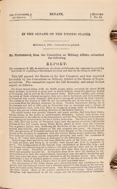
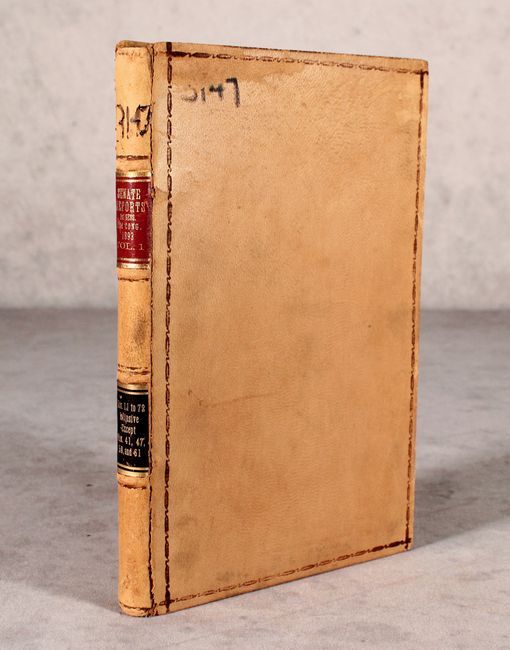
The map is still bound into the volume containing a total of 62 brief committee reports. Thin octavo, hardbound in congressional leather with gilt title labels on spine.
References:
Condition: A
Condition code is for the map which is clean, bright, and near fine. Report text is very good with pleasant light toning. Both hinges are starting, the covers are worn, and the edges are bumped.