Catalog Archive
Auction 179, Lot 185

"Carte de la Caroline Meridionale et Septentrionale et de la Virginie", Tardieu, Pierre Francois

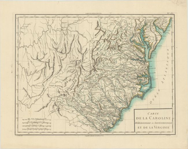
Subject: Southeast United States

Period: 1797 (circa)

Publication: Atlas Universel de Geographie Physique et Politique

Color: Hand Color

Size:
17 x 12.8 inches
43.2 x 32.5 cm
Download High Resolution Image
(or just click on image to launch the Zoom viewer)

This map shows all of North and South Carolina, Virginia and Maryland, with portions of New Jersey and Georgia. There is good detail in the states with many roads and settlements located. The Chesapeake is well depicted. The huge region to the west has early topography and watershed, but is virtually devoid of settlement except for a few forts and some interesting place names like Hurricane Tom's. Four distance scales and longitude is noted from both Paris and the Isle de Fer. Published by Chanlaire & Mentelle.

References:

Condition: A

A dark impression on a clean watermarked sheet with a short edge tear confined to the top blank margin that has been closed on verso with hinge tape.

Estimate: $300 - $375

Sold for: $325

Closed on 9/16/2020

Archived