Subject: Western United States & Canada
Period: 1844 (published)
Publication:
Color: Black & White
Size:
23.3 x 13.4 inches
59.2 x 34 cm
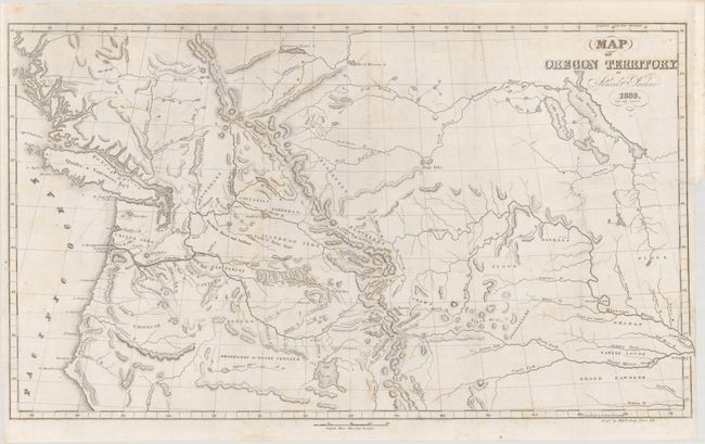
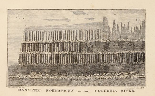
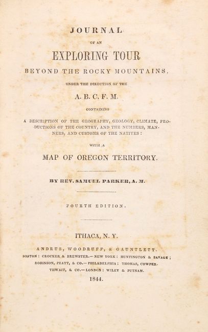
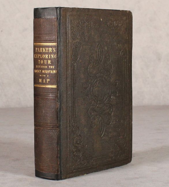
Samuel Parker was a missionary who accompanied a fur-trading party on an expedition from Council Bluffs, Iowa to the Oregon Territory. At the time, the region was claimed by both the British and the United States and was little known except to fur-traders. The folding map Map of Oregon Territory…, 1838 (22.4 x 14"), and the wood engraving of the Basaltic Formations on the Columbia River are both present in this complete volume. Parker's map, based on both personal observation and reports of the fur-traders of the Hudson Bay Company, is considered a landmark in the mapping of the region. The map provides an excellent view of the river systems and tribal territory. It shows several forts, including an early depiction of Fort Hall. The map extends to include much of present-day Canada. The map is loose with the original book in which Parker tells of his incredible experiences on the expedition. The books preface refers to the map as being "far more accurate than any which has before been published." Octavo, hardbound in blindstamped brown cloth with gilt title on the spine.
References: Howes #P-89; Sabin #58729; Wagner-Camp 70:5; Wheat (TMW) #438.
Condition: B+
The folding map is on a bright sheet with a bit of faint scattered foxing and a tiny binding tear at right that has been closed on verso with archival tape. Text has scattered foxing, and the covers have light wear with bumped edges. Rebacked with the original spine strip pasted on.