Subject: References, Colonial Virginia & North Carolina
Period: 1984-88 (published)
Publication:
Color:
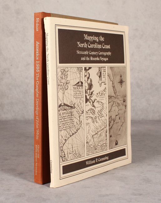
A. America 1585 - The Complete Drawings of John White, by Paul Hulton, published 1984, printed color (8.8 x 11.3"). This fascinating volume collects reproductions of the work of John White, the official artist for the first Roanoke Colony and the governor for the infamous lost second colony. It includes 77 color plates of his watercolors and 106 monochrome figures originally published by Theodore de Bry, all with detailed notes. Six brief essays provide invaluable context to White, de Bry, and the drawings. 213 pp. Hardbound in orange and brown cloth with gilt titles on the spine. Condition: Contents are tight. There is some minor soiling to the covers. (A)
B. Mapping the North Carolina Coast -Sixteenth-Century Cartography and the Roanoke Voyages, by William P. Cumming, published 1988, black & white (8.5 x 11.0"). This interesting reference by Cumming (author of the essentialThe Southeast in Early Maps) was published as part of the America's Four Hundredth Anniversary Committee's series of booklets on the history, events, and people of the 1580s. It focuses on the Roanoke colonies and the explorations and developing cartography of the Southeast. The book includes 28 black & white plates showing the region, ranging from Juan de l a Cosa's world chart (1500) to Pedro de Zuniga's chart of Virginia (1608). 143 pp. Soft illustrated covers. Condition: Corners are slightly bumped, and hinge is starting. There are a couple short tears along the spine. (B+)
References:
Condition:
See description above.