Catalog Archive
Auction 178, Lot 529

"Guinea Propria, nec non Nigritiae vel Terrae Nigrorum Maxima Pars... / La Guinee de Meme que la Plus Grande Partie du Pais des Negres...", Homann Heirs

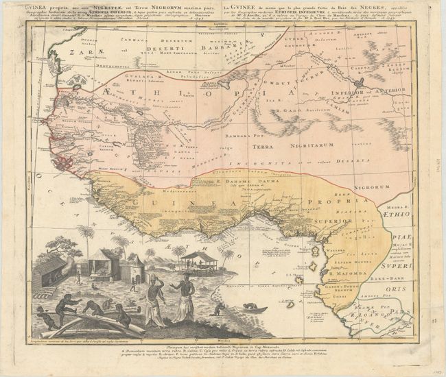
Subject: Western Africa

Period: 1743 (dated)

Publication:

Color: Hand Color

Size:
21.9 x 18 inches
55.6 x 45.7 cm
Download High Resolution Image
(or just click on image to launch the Zoom viewer)

This remarkable map is one of the most detailed maps of West Africa produced during the mid-eighteenth century. Information is confined only to those regions that were well known and it is particularly well delineated along the Niger River and the coast where there are extensive notations. The map is embellished with a large vignette of a native village with the distance scales engraved onto elephant tusks representing this important trade commodity of the region. A key at the bottom of the map identifies the various peoples and types of habitats.

References:

Condition: B+

On watermarked paper with some light soiling, printer's ink residue, and a printer's crease at bottom right.

Estimate: $325 - $400

Sold for: $190

Closed on 6/10/2020

Archived