Catalog Archive
Auction 178, Lot 332

"Hispaniae Antiquae Tabula", Sanson, Nicolas

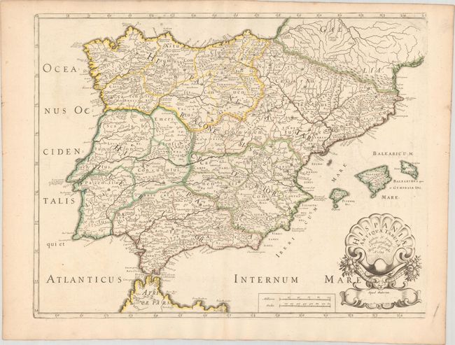
Subject: Spain & Portugal

Period: 1679 (dated)

Publication:

Color: Hand Color

Size:
20.6 x 16.1 inches
52.3 x 40.9 cm
Download High Resolution Image
(or just click on image to launch the Zoom viewer)

This handsome map of the Iberian Peninsula delineates the former political divisions during the time of ancient Rome. The map extends to include the Balearic Islands. There is nice topographical detail throughout. It is decorated with a rather fantastical cartouche showing two horns of plenty erupting from a bull's head beneath a stylized shell.

References: cf. Pastoureau, SANSON V D [111].

Condition: A

Contemporary outline color on a sheet with a fleur-de-lis watermark. Faint offsetting.

Estimate: $120 - $150

Sold for: $110

Closed on 6/10/2020

Archived