Subject: Texas, Oil
Period: 1928 (circa)
Publication:
Color: Printed Color
Size:
34 x 73.6 inches
86.4 x 186.9 cm
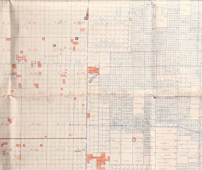
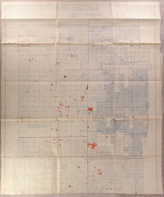
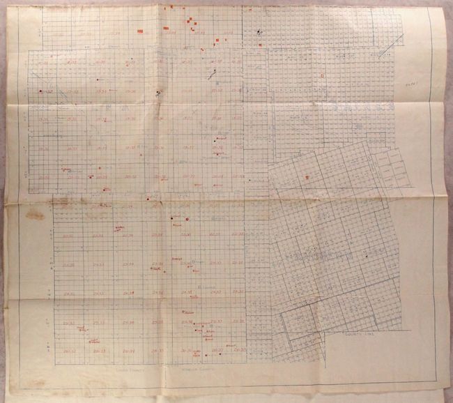
This mammoth map depicting Permian Basin oil exploration was drawn by Edgar Greer and R. Red. It covers the counties adjacent to the Texas-New Mexico border from Curry to Lovington in New Mexico, and from Parmer to Andrews County in Texas. A legend identifies wells at different stages including derrick, drilling, producing well, dry hole, gasser and abandoned wells. Numerous manuscript additions, including ownership, have been made on the base map which dates from about 1928. The date is derived from the appearance on the printed map of a well (Harris No. 1) in Andrews County which state records date as 1928. The same company (Deep Rock Oil Co.) drilled four additional wells from 1929 to 1932 which do not appear on the map despite one in 1929 (Ogden No. 1) on the neighboring lot Block A46, #5 that became the first major discovery in the county and triggered an oil boom.
References:
Condition: B+
A very good working example on linen-like paper with light soiling along the folds and some minor separations.