Subject: Southwestern United States
Period: 1848 (published)
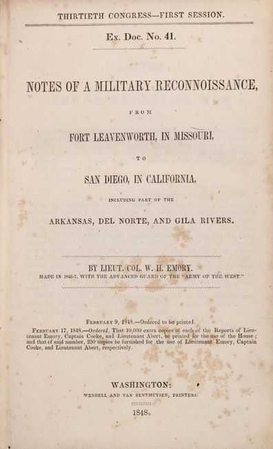
Publication: H.R. Ex. Doc. 41, 30th Congress, 1st Session
Color: Black & White
Size:
5.8 x 9 inches
14.7 x 22.9 cm
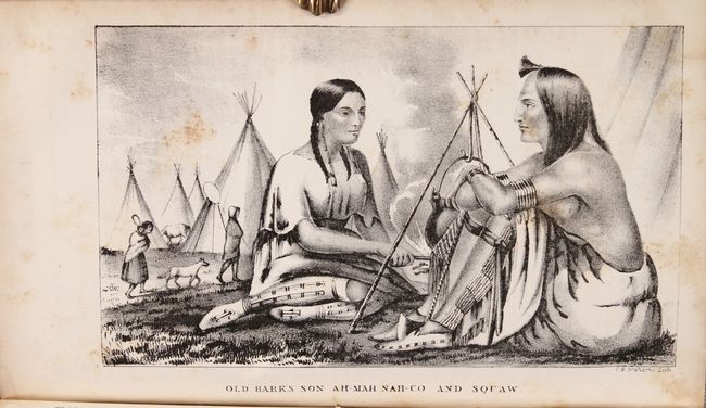
This House edition is one of the most comprehensive and desirable forms of this report which was issued with the Abert and Cooke maps, but without the very large Emory map. The report documents the 1846-1847 journey of the advanced guard of General Kearny's Army of The West. Emory was Brevet Major of the Corps of Topographical Engineers. The report features full-page lithographs of the natives, rivers, landscapes, towns and pueblos, flora and fauna that were encountered during the march to the Pacific. Emory's reports are enjoyable reads with passages such as "I stopped in the little town of Isoletta, to visit my friend, the alcalde, who has the reputation, Indian though he be, of being the most honest man and best maker of brandy in the territory."
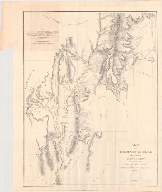
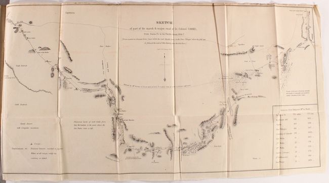
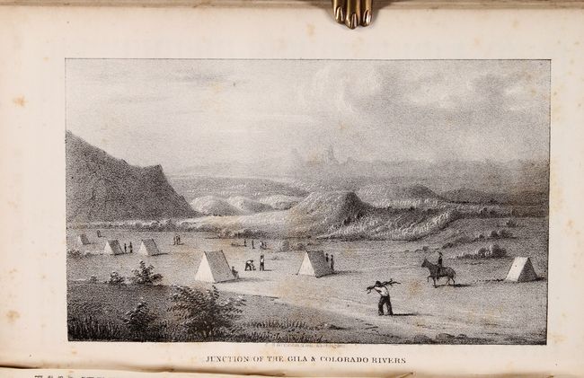
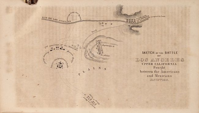
It is illustrated with 66 lithographed plates (42 Emory + 24 Abert) and 2 folding maps. The maps are both important contributions to western cartography. The first map,Map of the Territory of New Mexico (25.5 x 19.5") was compiled by Lieutenants Abert and Peck after the conquest of New Mexico. The second, Sketch of Part of the March and Wagon Road of Lt. Colonel Cooke, From Santa Fe to the Pacific Ocean (12 x 23") shows the route of the Mormon Battalion from Santa Fe to the Gila River. Among the illustrations are several New Mexican pueblos, the Junction of the Gila and Colorado Rivers (Yuma), and Sketch of the Battle of Los Angeles Upper California Fought Between the Americans and the Mexicans Jan. 9th 1847 (missing the San Diego plate). Wagner-Camp states "his report was a major contribution to the geographical knowledge of North America" and "Emory's descriptions of the various Indian tribes that he encountered were steps toward the newly-forming discipline - Anthropology - concerned with primitive man."
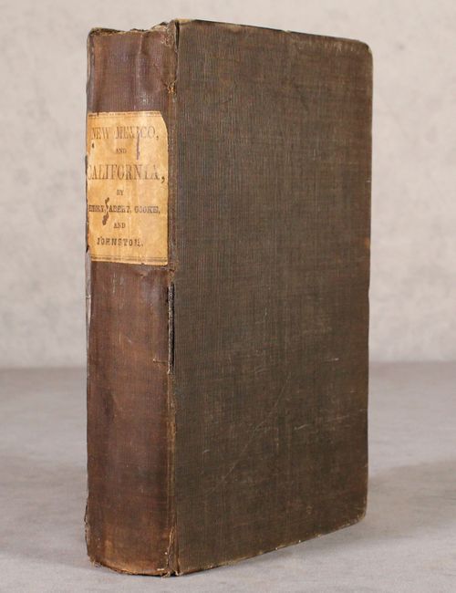
Printed by Wendell and Van Benthuysen. 614 pages. Octavo, hardbound in brown cloth with paper title label on spine.
References: Wheat (TMW) #505 & 532; Wagner & Camp 148:5.
Condition: B+
The folding maps are very good with a bit of faint offsetting and a few spots of foxing. Text and plates are good to very good with scattered foxing. There are manuscript notations in the front endpapers. Covers are worn, the edges are bumped, and there are a few small chips along the joint.