Catalog Archive
Auction 177, Lot 821

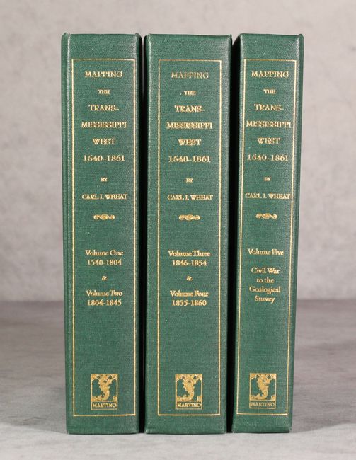
"[5 Volumes in 3 Books] 1540-1861 Mapping the Transmississippi West", Wheat, Carl I.

Subject: References, Western United States

Period: 2004 (published)

Publication:

Color: Black & White

Size:
7.1 x 9.3 inches
18 x 23.6 cm
Download High Resolution Image
(or just click on image to launch the Zoom viewer)

This is the octavo-sized Martino reprint of Carl Wheat's monumental work on western cartography. It lists 1302 maps, fully annotated with 376 illustrations, with many folding facsimile maps. This reprint is in a size that is much more useful than the original first edition published in San Francisco between 1957 and 1963. Considered the definitive work detailing the mapping of the American West, it includes an excellent bibliography. In green cloth boards, gilt-lettered spine.

References:

Condition: A+

Minor bumping to corners and a hint of wear on covers.

Estimate: $150 - $180

Sold for: $325

Closed on 4/29/2020

Archived