Subject: References, Holy Land
Period: 1986 (published)
Publication:
Color: Printed Color
Size:
12.4 x 10.3 inches
31.5 x 26.2 cm
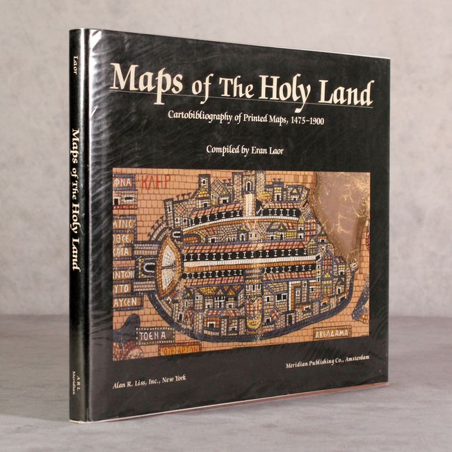
This excellent cartobibliography is indispensable for any collector of Holy Land maps. Compiled by Eran Laor, this work lists 932 maps of the Holy Land and 253 town plans and views of Jerusalem. The listings are organized alphabetically by author and include the size, type of engraving, brief description, and publication information for each map. Also included are biographical notes on cartographers and map publishers. 201 pp., 20 color illustrations. Oblong octavo, hardbound in light brown library buckram with printed title on cover and spine, with illustrated dust jacket.
References:
Condition: A
The interior is clean and bright and the dust jacket is in very good condition.