Subject: Geography Books
Period: 1844 (published)
Publication:
Color: Printed Color
Size:
9.6 x 12.4 inches
24.4 x 31.5 cm
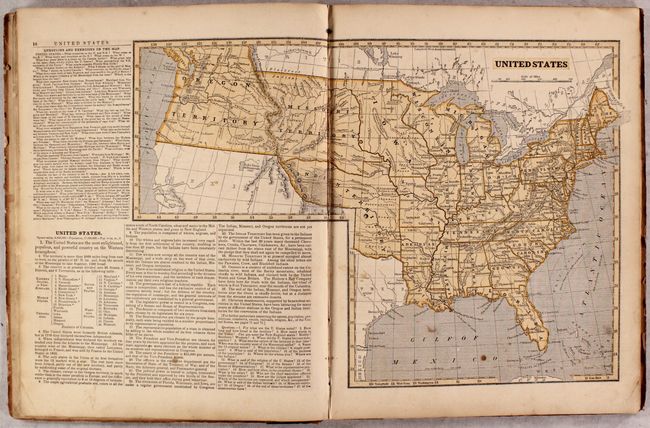
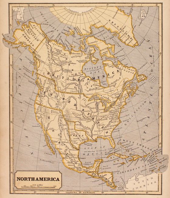
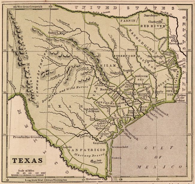
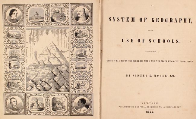
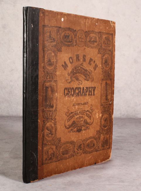
Morse's popular series of geographies, with their easy to read maps and fact-filled text, quickly became a standard for American educators during the early 19th century. This complete 1844 edition is particularly notable as it was the first edition to use Morse's pioneering cerographic geography. It contains a total of 51 wax-engraved maps including a double-page map of the United States that features a large Indian Territory that stretches as far west as the Rocky Mountains, and a large Territory of Iowa that includes most of Minnesota and the Dakotas. Four maps feature the Republic of Texas along with a smaller map of Texas that includes a page of descriptive text. 72 pages. Quarto, hardbound in quarter leather over pictorial paper boards.
References:
Condition: B+
Contents are very good with light toning and scattered foxing. Covers have darkened and are lightly soiled, and the spine has been reinforced with binder's tape.