Subject: Geography Books
Period: 1797 (circa)
Publication:
Color: Black & White
Size:
10 x 15.6 inches
25.4 x 39.6 cm
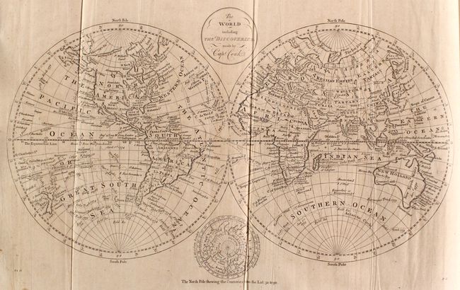
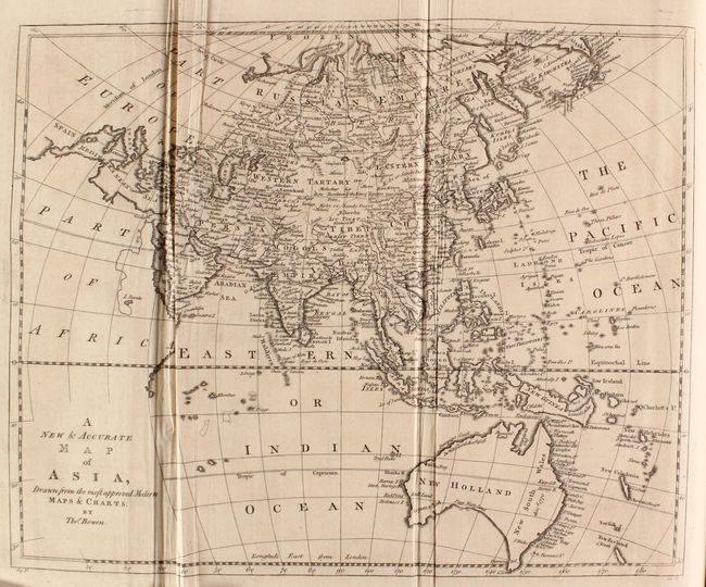
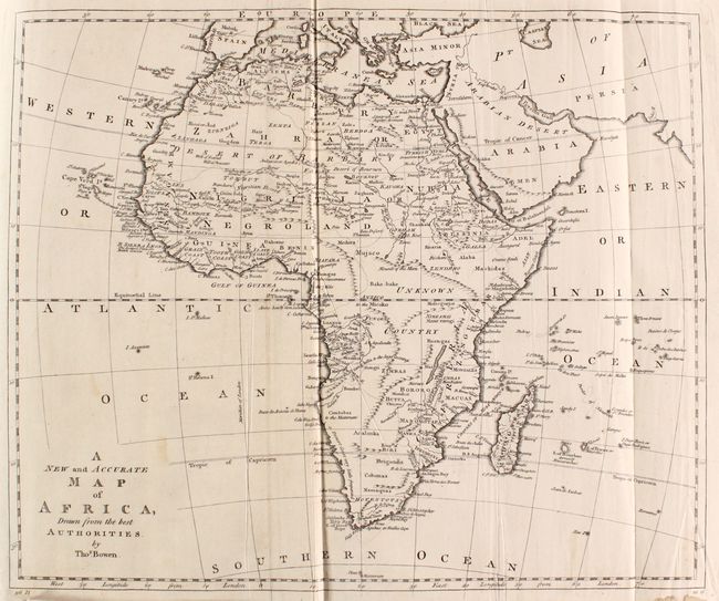
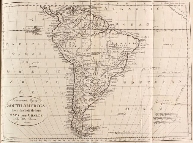
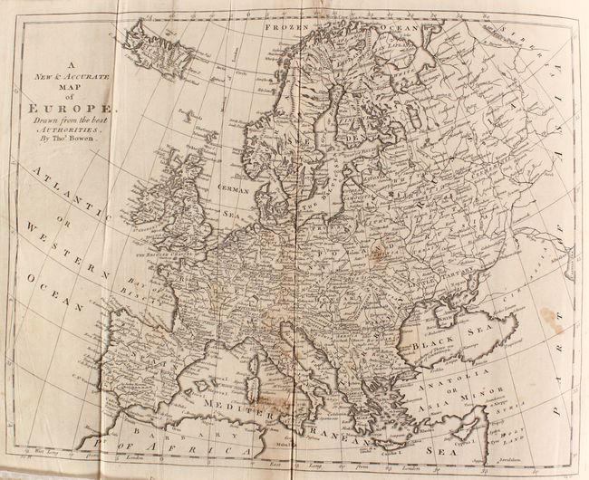
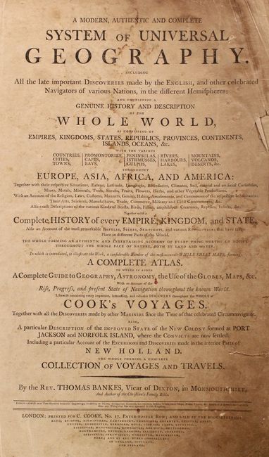
Thomas Bankes' System of Universal Geography was published in several editions between approximately 1787-97, with 22 maps and over 100 additional engravings of Natives, animals, and views. The majority of the maps were engraved by Thomas Bowen and include 13 folding maps and 9 single-page maps. The maps depict the world on Mercator's projection, a double-hemisphere map of the world, the five continents, the Atlantic and Pacific Oceans, the United States, the West Indies, the East Indies, the Ottoman Empire, the Russian Empire, and eight regional maps within Europe. The recent discoveries of Captain Cook are a common theme on several of the maps. Of particular interest are the following maps:
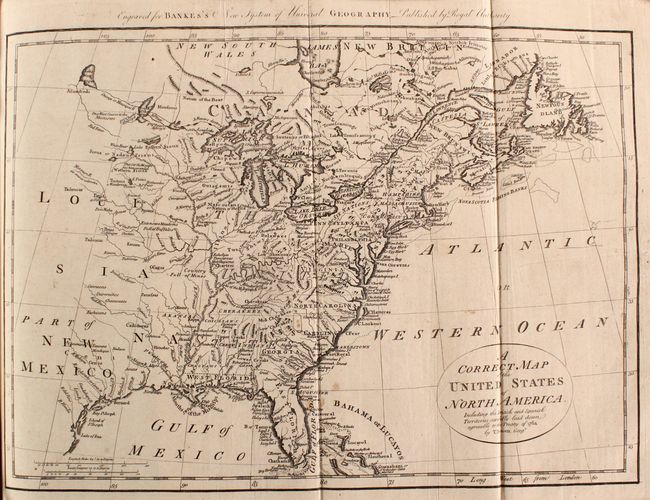
A. A Correct Map of the United States of North America. Including the British and Spanish Territories, Carefully Laid Down Agreeable to the Treaty of 1784 (17.6 x 12.4"). This map of the United States was created at the conclusion of the American Revolution, with the new western boundary along the Mississippi River. Virginia, North Carolina and Georgia have no western boundaries, suggesting their limits extend to the Mississippi. Florida is divided between East & West. The frontier region includes limited information up to Lake Winnipeg, with Indian names and interesting notations such as Extensive Meadows Full of Buffalos north of the Missouri River, and Country Full of Mines just north of Arkansas.
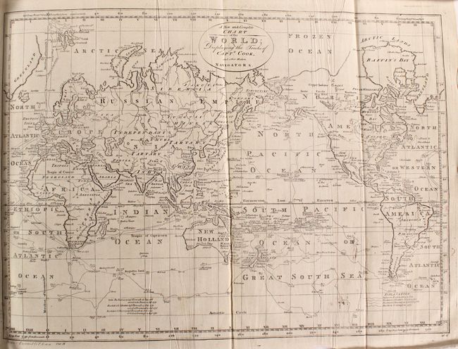
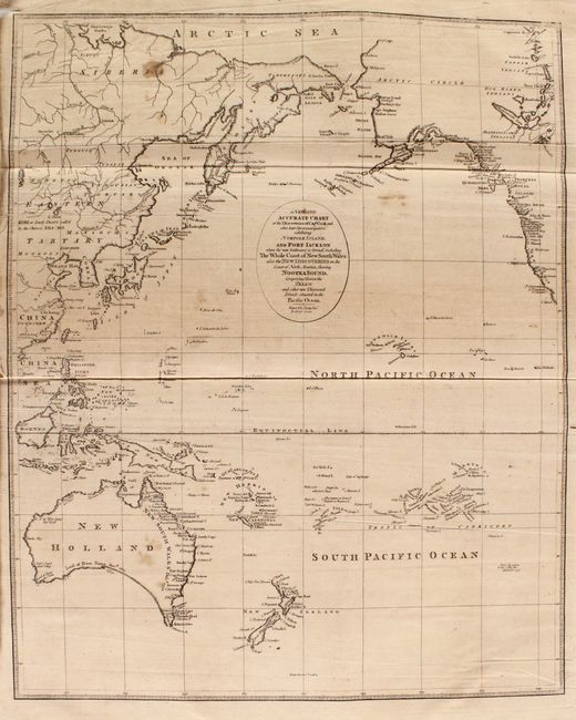
B. A New and Complete Chart of the World; Displaying the Tracks of Captn. Cook, and Other Modern Navigators (18.1 x 12.2"). This fascinating map of the world is filled with Captain Cook's routes from all three voyages. A key at bottom right corresponds the various tracks to each voyage. In North America, there is a fictitious West River, while Alaska is shown with a fairly correct shape. A note on the northwest coast of the continent mentions Fou-sang, a mythical Chinese colony allegedly established in the 5th century. The Sandwich Islands are shown and noted as the place where Capt. Cook was killed. The South Pacific is filled with islands, and New Zealand is fully formed. Tasmania is still attached to Australia, which is shown with an incomplete southern coastline. There are numerous detailed notations throughout.
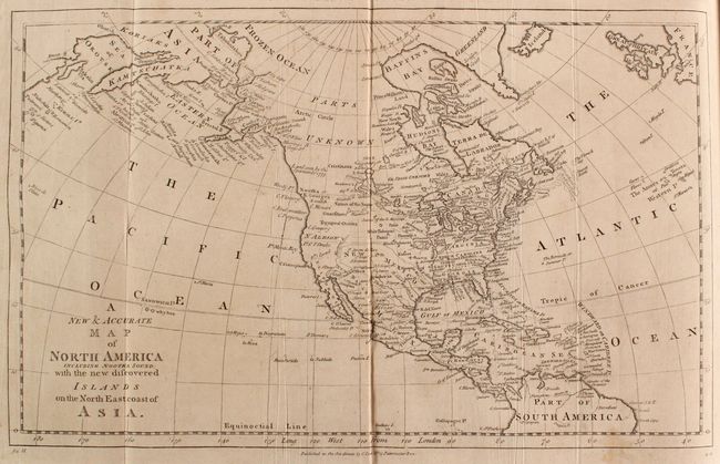
C. A New & Accurate Map of North America Including Nootka Sound... (17.2 x 10.4"). This map of North America focuses on the discoveries of Captain Cook in the Pacific Northwest and Alaska. Alaska is fairly well formed, although much of the Aleutian Island chain is depicted as a peninsula. Northern Canada is marked Parts Unknown, and northern California is N Albion. The northeast coast of Asia is depicted with a well formed Kamtschatka Peninsula. New Mexico encompasses present-day Louisiana and Texas, while the eastern seaboard states all extend to the Mississippi River. On the continent, the political divisions are delineated by dotted lines, and numerous Indian nations are located.
Folio; 988 pp. (missing the frontispiece, last 2 pages of the index, and front and back free-endpapers). Hardbound in full contemporary calf with raised bands, gilt tooling and red leather title label on spine.
References: McCorkle (18th C. Geography Books) #11-VII; cf. Shirley (BL Atlases) T.Bank-1a.
Condition:
Most of the maps are in near fine (A) or very good (B+) condition with some misfolds and occasional soiling and light toning. Five of the maps (Pacific Ocean, Europe, West Indies, Germany and France) are in good (B) condition with moderate toning or soiling, and occasional short tears. The map of Great Britain is in fair (C) condition with several tears in the image that were repaired with cello tape on verso, which has caused stains on recto. The plates also range in condition from A to B with light to moderate soiling/toning, occasional tears or chips mostly confined to the blank margins, and occasional damp stains along the edges. The text is generally very good, although the title page is heavily toned and soiled with chips and tears along the fore-edge. The hinges are starting, the covers are worn with some abrasions and bumped corners, and the spine is cracking.