Subject: Atlases
Period: 1860 (published)
Publication:
Color: Hand Color
Size:
9.6 x 12.1 inches
24.4 x 30.7 cm
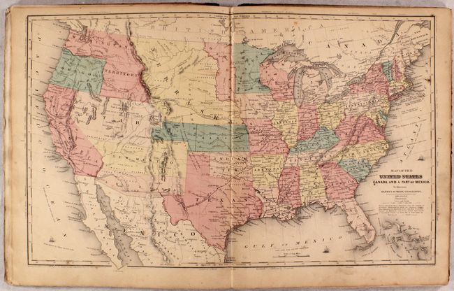
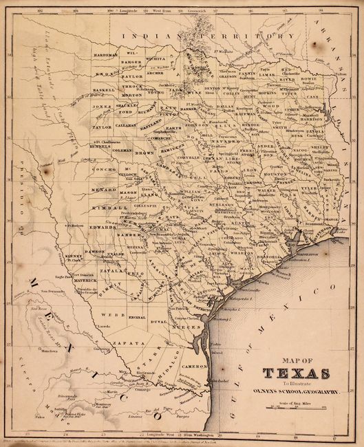
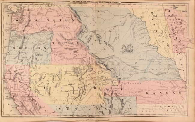
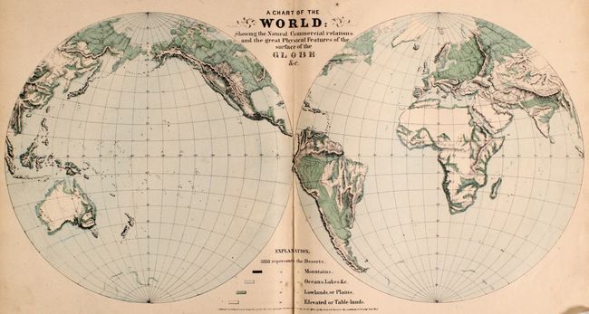
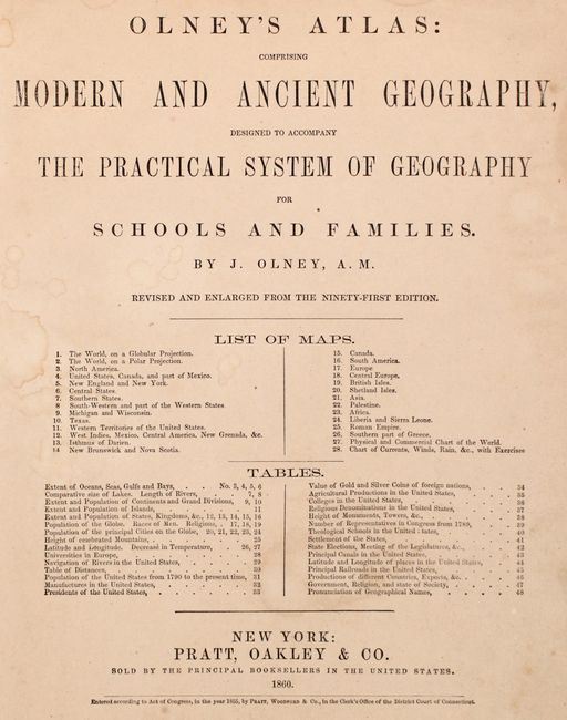
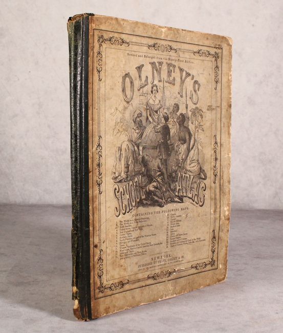
This is a complete example of Olneys' atlas with all 28 maps (on 19 mostly double-page sheets) with several of the United States as well as maps of the world and continents. The double-page United States map includes some interesting western territorial configurations including an inverted "L" shaped Washington, a huge Nebraska Territory extending to the Canadian border, an elongated Kansas that extends to South Park, and Arizona Territory occupying the region along the Mexican border. The atlas also features a nice single-page map of Texas, and a double-page map of the Western Territories of the United States. Published by Pratt, Oakley & Co., New York. Quarto, quarter leather over pictorial paper boards. Olney atlases from the 1850s-60s are much less common than editions from the 1830s-40s, with only two examples appearing in our auctions in the last 20 years.
References:
Condition: B
The maps are good to very good with uniform light toning and minor foxing. A few of the maps at the back of the volume have short centerfold separations at bottom. Boards are soiled and worn, and the spine is chipped at the ends.