Subject: Atlases
Period: 1810 (circa)
Publication:
Color: Hand Color
Size:
6.1 x 8.8 inches
15.5 x 22.4 cm
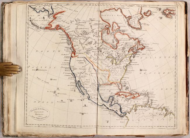
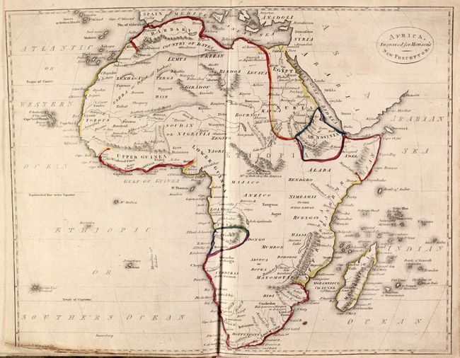
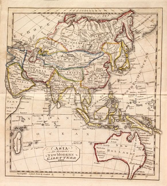
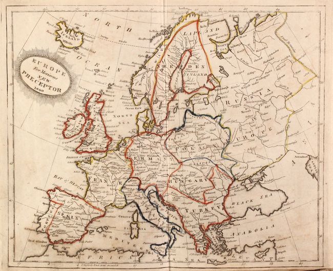
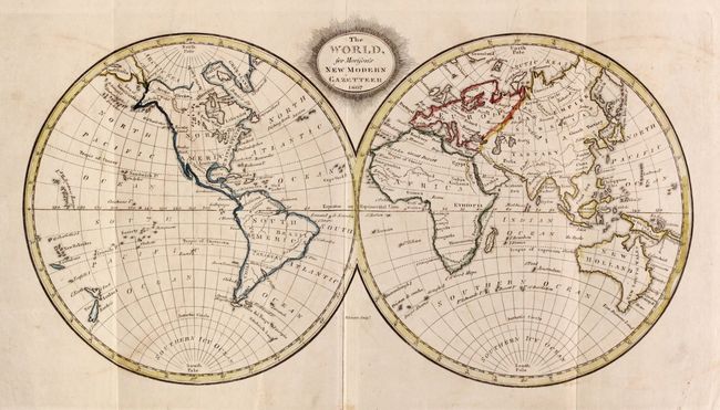
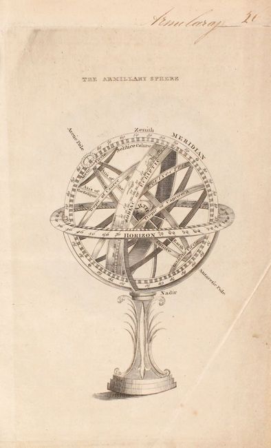
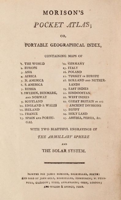
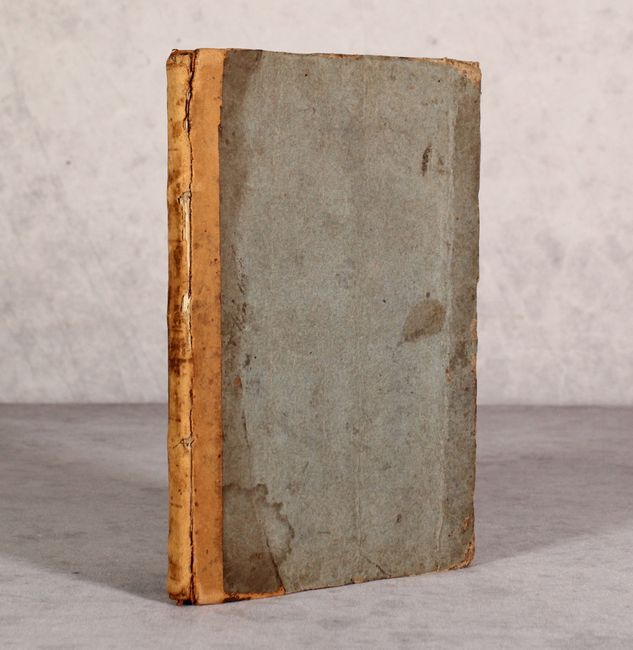
This scarce pocket atlas was produced by James Morison in Perth, Scotland. It contains 24 (of 25) double-page and folding maps, missing only the map of South America. The maps are dated 1806-1809 with about half of the maps engraved by either Daniel Lizars or Thomas Clerk. The maps were originally issued in other publications, with most maps including either "New Preceptor" or "New Modern Gazetteer" in the title. The atlas includes maps of the world, Europe, Asia, Africa, and North America, along with 12 regional maps of Europe, East and West Indies, India, and 4 maps of the ancient world. Of particular interest is the map of North America, which shows the United States extending to beyond the Missouri River with an oddly shaped stovepipe Louisiana to its west. The Pacific Northwest is marked "Unexplored Country" and is part of New Mexico. Both the world and Asia map show Tasmania still connected to Australia. Includes two additional plates of the solar system and an armillary sphere at the rear of the volume. Hardbound, quarter leather over paper boards.
References:
Condition: B
The maps are in original outline color with light offsetting, occasional foxing, and minor soiling. Several maps have some minor edge tears along the right and bottom sheet edges, and the folding map of Egypt has two small fold separations at bottom. Title page inserted. Covers are moderately worn and stained and the hinges are starting.