Catalog Archive
Auction 177, Lot 671

"A Map of Africa, from the Best Authorities",
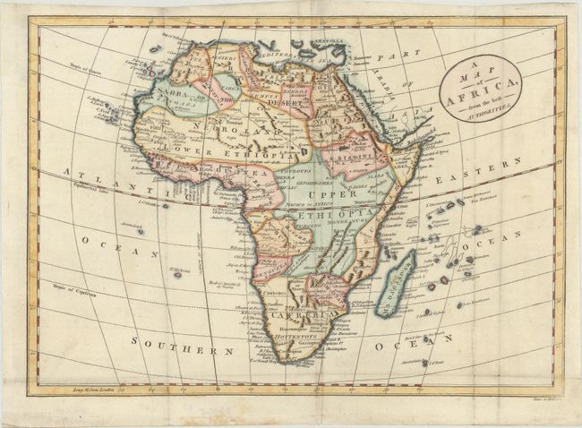
Subject: Africa

Period: 1806 (circa)

Publication: A New Historical and Commercial System of Geography

Color: Hand Color

Size:
11.3 x 7.9 inches
28.7 x 20.1 cm
Download High Resolution Image
(or just click on image to launch the Zoom viewer)

This uncommon map of Africa includes towns and cities, some nice topographical detail, tribal names, and political divisions. It labels a small lake near Gondar as the source of the Nile, but it does not locate the source of the White Nile. Lake Malawi is shown as Great Lake Maravi or Zambre. Lower Ethiopia is located to the northwest of Upper Ethiopia. Engraved by Cornelius Paas. Published by Sowler and Russell.

References: McCorkle (18th C. Geography Books) #319-12.

Condition: A

Issued folding, now flat, on a sheet with a "E & S 1806" watermark. There is minor soiling.

Estimate: $100 - $130

Sold for: $90

Closed on 4/29/2020

Archived