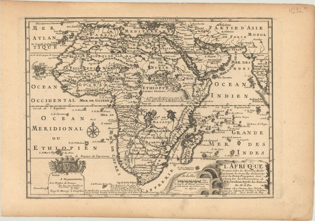
Subject: Africa
Period: 1705 (dated)
Publication: L'Atlas Curieux ou le Monde...
Color: Black & White
Size:
12.4 x 9.1 inches
31.5 x 23.1 cm
This handsome little map is a reduced derivative of De Fer's wall map of Africa (1696-98) with its characteristic thickened west coast. Unusual islands appear in the Atlantic and Indian Oceans including a mythical second island of St. Helena. Monomotapa is shown in the south and the southwest coastline is distorted and there is an incorrect placement and shape of the Cape of Good Hope. In Central Africa is a paragraph concerning the origin of the Nile in Abyssinia, however, the two sub-equatorial Ptolemaic lakes are still shown on the map. The map is graced with a decorative dedication to the Dauphin and a title cartouche featuring lime kilns. The map was first published in 1700; this is the second state.
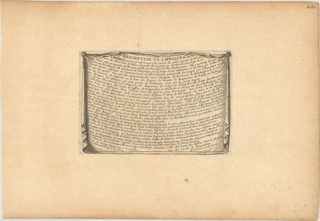
Included with the map is a page of related text from the atlas entitled Description de l'Afrique.
References: Betz #170.2; Norwich #64 (larger version); Pastoureau, FER ID.
Condition: B+
Light toning that is more prominent along the sheet edges. There is an old library stamp on the verso of the included text page.