Subject: North America
Period: 1791-1807 (circa)
Publication:
Color: Hand Color
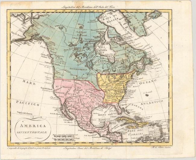
A. America Settentrionale, by Marco di Pietro, published in Geographia Universale, circa 1807 (8.6 x 7.1"). This uncommon map shows the young United States extending to the Mississippi River, with Spain in control of Mexico, the Southwest, and Florida. A River of the West (F. dell Ouest) is shown nearly connecting Lake Winnipeg to the Pacific Ocean, although the far western portion of the river is shown with conjectural dashed lines. A number of rivers and cities are identified through most of North America, and Alaska is shown in a very rudimentary shape. Condition: A nice impression on a bright sheet of watermarked paper, issued folding with a few spots of foxing at top left and some damp stains along the top edge of the sheet.
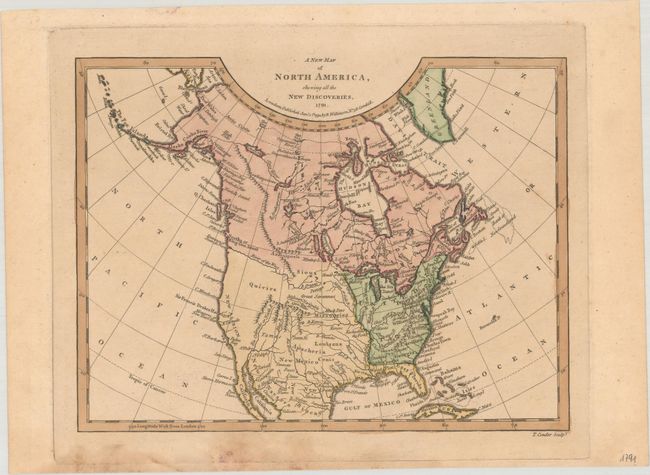
B. A New Map of North America, Shewing All the New Discoveries, by Robert Wilkinson, dated 1791 (9.6 x 7.3"). This small map of North America shows Florida divided into East and West Florida. Sir Francis Drake's Harbor is shown on the coast of present-day California which is labeled New Albion. A prominent River of the West flows into the Pacific at the Entrance of Juan de Fuca, and an elaborate, apocryphal Northwest Passage links Hudson Bay with Prince William Sound through a laborious system of rivers and lakes in Canada. The interior is largely blank with the exception of some limited topography and the river systems including a note that states that the "Missouri Navigable 1300 Miles." Engraved by Thomas Conder. Condition: Contemporary color with light toning and some soiling at bottom.
References:
Condition: B+
See description above for details.