Subject: Southwestern China
Period: 1737 (circa)
Publication: Nouvel Atlas de la Chine, de la Tartarie Chinoise, et du Thibet
Color: Hand Color
Size:
12 x 10.6 inches
30.5 x 26.9 cm
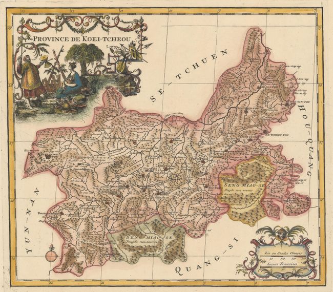
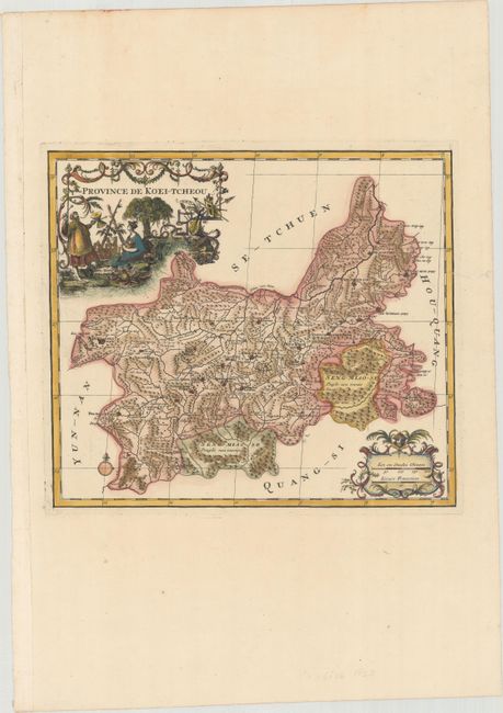
This is a delightful map of the province of Guizhou, or Kweichow, the smallest province in southwestern China. Attractive figurative title and scale of miles cartouches compliment the detailed map. D'Anville assembled maps of China compiled from an extensive Jesuit survey carried out in 1708-16 for the Emperor Kang-Shi, which were published in Jean Baptiste du Halde's Description Geographique Historique... de l'Empire de la Chine et de la Tartarie Chinoise in 1735. It remained the principal cartographical authority on China during the rest of the 18th century. The missionaries used local sources and personal observation to prepare these incredibly detailed maps. The maps were then re-engraved by D'Anville for a Dutch market two years later and published in an atlas volume, Nouvel Atlas de la Chine, de la Tartarie Chinoise, et du Thibet.
References: Shirley (BL Atlases) T.HALD-3a #17.
Condition: A
A dark impression on a bright sheet with wide margins and a professionally repaired tear that just passes the neatline at right.