Catalog Archive
Auction 177, Lot 57

"Die Westliche Halbkugel der Erde in Stereographischer Aequatorial Projection Entworfen", Streit, Friedrich Wilhelm

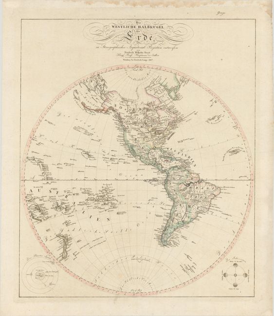
Subject: Western Hemisphere - America

Period: 1817 (dated)

Publication:

Color: Hand Color

Size:
19.7 x 23.3 inches
50 x 59.2 cm
Download High Resolution Image
(or just click on image to launch the Zoom viewer)

A rare German map based on John Arrowsmith's important cartography of the Americas. The map focuses on topographical features and rivers with only a few place names. The new discoveries in the Pacific are carefully delineated. The United States extends west of the Mississipipi River, and Spain is still in control of the southwest and Florida. A number of Indian tribes are noted in North America. The bottom corners of the sheet feature diagrams of the solar system and the seasons.

References:

Condition: B+

A nice impression on watermarked paper with light soiling and a damp stain confined to the top blank margin.

Estimate: $275 - $350

Sold for: $200

Closed on 4/29/2020

Archived