Subject: Northern Italy
Period: 1590 (dated)
Publication: Theatrum Orbis Terrarum
Color: Hand Color
Size:
18.3 x 13.5 inches
46.5 x 34.3 cm
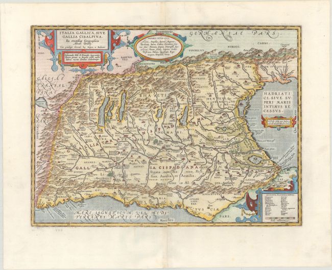
Handsome map of northern Italy showing the region during Roman times. The Roman road, Aurelia via Antonino, is shown along the southern coast and into the important marble quarry district. Ortelius based the map on classical sources including Livius, Ausonius, Tacitus, Cato, Linius, Polybius and Cassidore. Richly decorated with four strapwork cartouches. This is the second state of the map, with the Roman roads added along the coast. Latin text on verso, published in 1624.
References: Van den Broecke #206.2.
Condition: A
A dark impression on a bright sheet with professional repairs to a tiny hole in the image at bottom left and to a few small worm tracks and separations along the centerfold, with a minute amount of image replaced in facsimile.