Catalog Archive
Auction 177, Lot 462

"Emden & Olden Borch Comit.", Mercator/Hondius

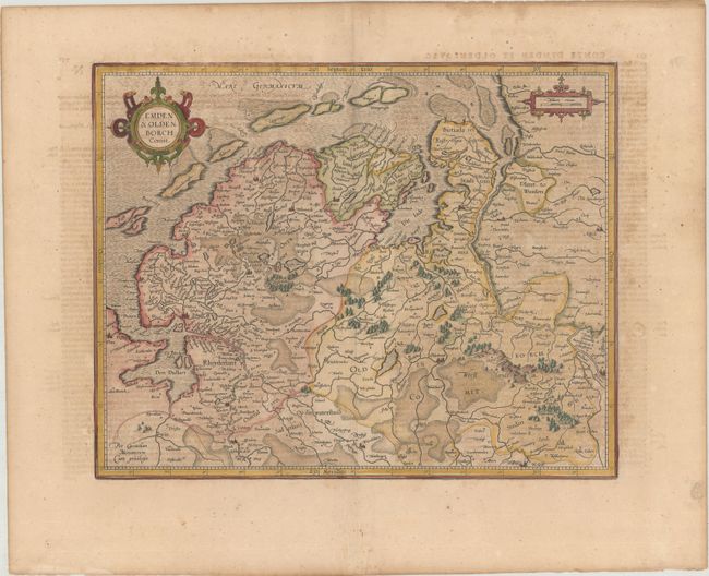
Subject: Northwestern Germany

Period: 1619 (published)

Publication: Gerardi Mercatoris - Atlas sive Cosmographicae

Color: Hand Color

Size:
16.9 x 13.4 inches
42.9 x 34 cm
Download High Resolution Image
(or just click on image to launch the Zoom viewer)

Copper engraved map delineating the northern portion of Lower Saxony. Extends from Bremen at lower left, Oldenburg (here Oldenborch) and west to the border with Holland. Extends south to name Fries Ochten, Rheyde and Herpstede. Fully stippled sea, decorative title cartouche and distance scale cartouche. French text on verso.

References: Van der Krogt (Vol. I) #2301:

Condition: B+

Light toning with minor foxing.

Estimate: $140 - $170

Sold for: $100

Closed on 4/29/2020

Archived