Catalog Archive
Auction 177, Lot 460
"Nouvelle Carte de l'Alemagne avec des Tables des Branches de la Noblesse et les Lieux les Plus Remarquables de Leurs Residance", Chatelain, Henry Abraham
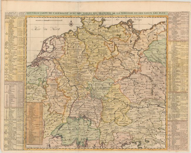
Subject: Central Europe, Germany
Period: 1720 (circa)
Publication: Atlas Historique
Color: Hand Color
Size:
24.4 x 18.4 inches
62 x 46.7 cm
Download High Resolution Image
(or just click on image to launch the Zoom viewer)
(or just click on image to launch the Zoom viewer)