Subject: Amazon River
Period: 1836 (dated)
Publication: Journal of the Royal Geographical Society of London, Vol. 6
Color: Hand Color
Size:
32.2 x 7.7 inches
81.8 x 19.6 cm
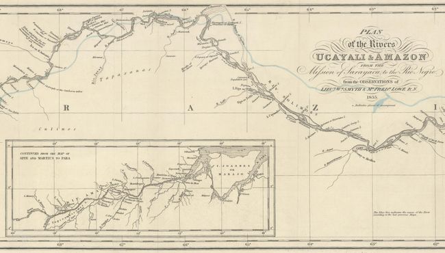
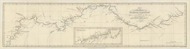
This incredibly detailed map of the Amazon River was created based on the work of British Naval Officers William Smyth and Frederick Lowe, who conducted an expedition from Lima, Peru to the east coast of South America in order to find a navigable route for trade. The group crossed the Andes and navigated the entire length of the Amazon River, publishing an account of their voyage in 1836. The map gives details on the navigation of the river, including depth soundings, the speed of river currents, rocks and hazards, tributaries, and navigational notations. The sites of their encampments along the route are marked with "+" symbols, and the blue line shows "the course of the river according to the best previous maps." The inset continues the mapping of the river further east to the River Para. Engraved by J. & C. Walker.
References:
Condition: A
A crisp impression, issued folding on a bright sheet with contemporary outline color. Separations along the far left fold have been professionally repaired.