Catalog Archive
Auction 177, Lot 291

"Carte Geo-Hydrographique du Golfe du Mexique et de Ses Isles Construite d'Apres les Memoires les Plus Recens...", Rizzi-Zannoni, Giovanni Antonio

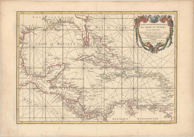
Subject: Gulf of Mexico & Caribbean

Period: 1762 (circa)

Publication:

Color: Hand Color

Size:
17.6 x 12.3 inches
44.7 x 31.2 cm
Download High Resolution Image
(or just click on image to launch the Zoom viewer)

Finely engraved map covering the U.S. and Mexican coastlines, Central America, northern South America, and all of the major islands of the West Indies, also naming some very small ones. The map is filled with great coastal detail and many place names. Southern Florida here is broken into an archipelago. This lovely chart is adorned with a decorative cartouche draped with garlands, a fleur-de-lys, and rhumb lines.

References:

Condition: A

A fine impression on sturdy, watermarked paper with marginal soiling, light toning along the edges of the sheet, and a minor damp stain at bottom left, well away from the image.

Estimate: $200 - $230

Sold for: $130

Closed on 4/29/2020

Archived