Subject: Houston, Texas
Period: 1947-48 (dated)
Publication:
Color:
This lot contains two post-World War II maps of Houston including:
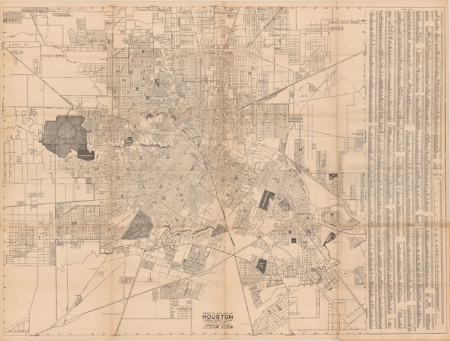
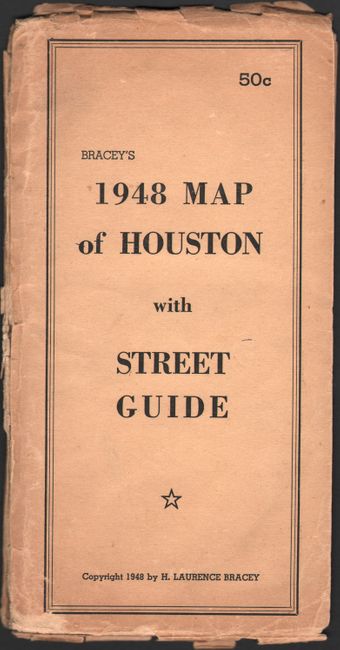
A. Bracey’s 1948 Map of Houston Harris County Texas, by H.L. Bracey, dated 1948, black & white (36.7 x 27.3"). A large, detailed map of Houston covering the area from Plymouth south to Garden Villas and from Memorial Park east to Meadowview. Shows the street-grid pattern, parks, country clubs, the Rice Institute, schools, and more. Detailed street index at right. Folds into tan paper wrappers (5.0 x 9.7"). Condition: Light toning with a number of fold separations. Paper wrappers are chipped along the edges. (B)
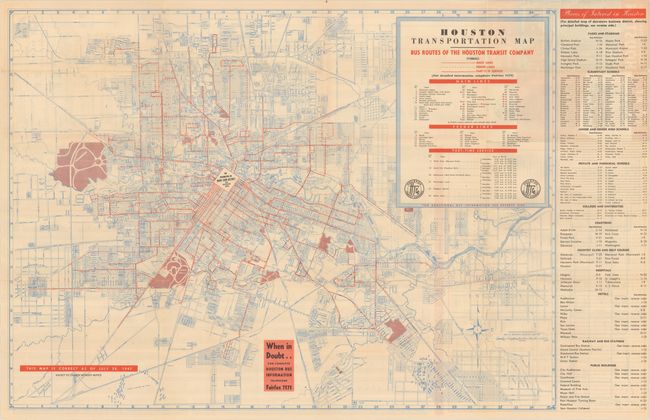
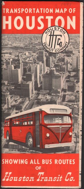
B. Houston Transportation Map - Bus Routes of the Houston Transit Company, by Houston Transit Company, dated 1947, printed color (28.7 x 20.9"). Another sizable map of the city with streets shown in blue and bus routes in red. Locates the Pierce Junction Oil Field at bottom left, and a detailed “Places of Interest in Houston” index appears along the right border. The verso has a map of the business district and lengthy street guide. Self-folding (3.7 x 8.5"). No examples located on OCLC. Condition: A clean example with a few short splits at the fold junctions. (B+)
References:
Condition:
See description above.