Catalog Archive
Auction 177, Lot 238

"South Carolina", Arrowsmith & Lewis

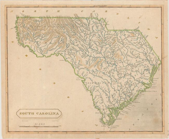
Subject: South Carolina

Period: 1812 (circa)

Publication: A New and Elegant General Atlas...

Color: Hand Color

Size:
9.8 x 7.9 inches
24.9 x 20.1 cm
Download High Resolution Image
(or just click on image to launch the Zoom viewer)

This map shows an interesting combination of both judicial districts and counties within the state. Washington District occupies the western portion of the state with an Indian Boundary extending into North Carolina. Locates towns and villages, a few wagon roads, rivers and topography. Drawn by Samuel Lewis and engraved by D. Fairman.

References: Phillips (Atlases) #718-44.

Condition: B+

Issued folding with light toning and a few spots of foxing.

Estimate: $120 - $150

Sold for: $130

Closed on 4/29/2020

Archived