Subject: Pennsylvania, Atlases
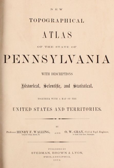
Period: 1872 (published)
Publication:
Color: Hand Color
Size:
14 x 17.8 inches
35.6 x 45.2 cm
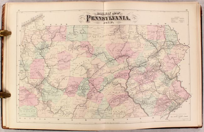
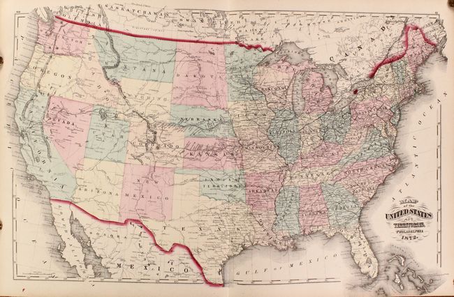
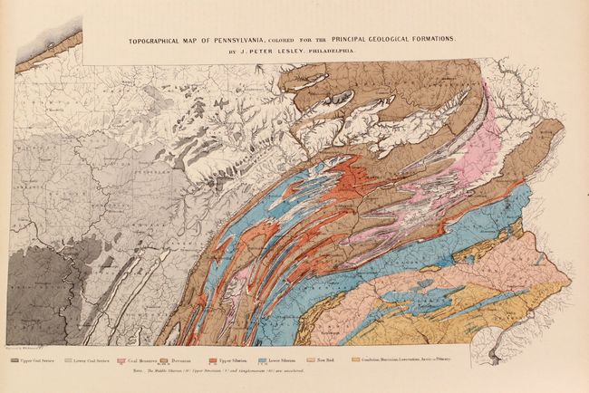
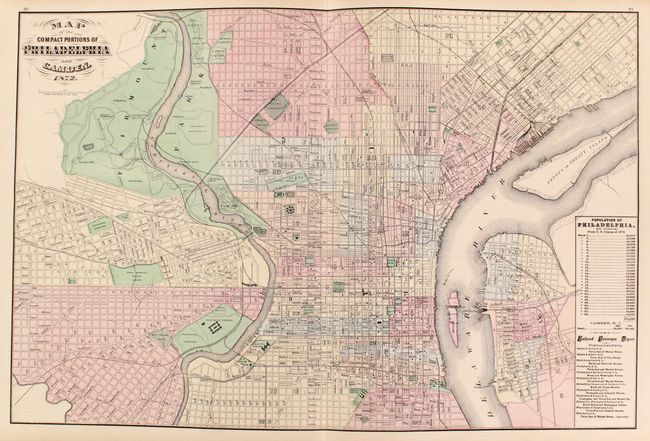
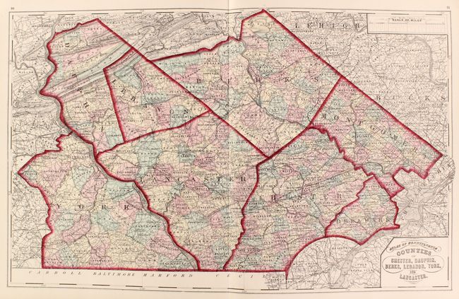
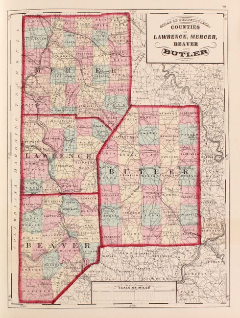
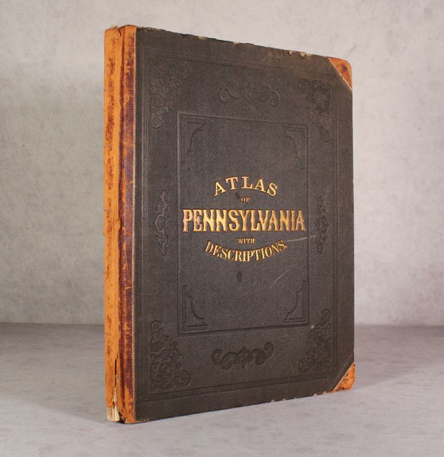
This complete atlas contains 6 double-page and 28 single-page maps of Pennsylvania, covering every county in the state as well as city plans of Philadelphia, Reading, Lancaster and Allentown. Several thematic maps depict the geology, climatology, flora, and mineral deposits throughout the state. The atlas also includes Gray's double-page Map of the United States and Territories. In addition to the maps, there is extensive text on botany, climatology, education, geology, topography, zoology, and the history of the state. The atlas also provides population data from the US censuses of 1860 and 1870 for each county, township and borough in Pennsylvania, as well as an extensive classified section of businesses in each county and the cities of Philadelphia and Pittsburgh. Hardbound in quarter calf with tips over brown cloth boards with gilt title on the front cover.
References:
Condition: A
Condition code is for the maps, which are clean and bright with a hint of pleasant light toning. Both hinges are starting and the spine is chipped and worn. The covers are rubbed and there are a few chips to the rear board.