Subject: Hawaii
Period: 1897-1906 (dated)
Publication:
Color:
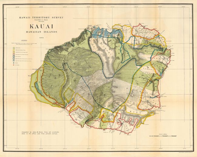
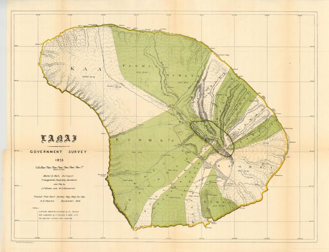
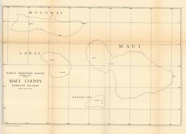
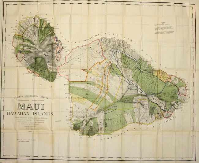
A terrific collection of maps of the Hawaii Territory as surveyed by W.D. Alexander and Walter E. Wall. Each is filled with colorful details including the location of Public Lands, Homestead Settlement Tracts, Grazing Lands, Pineapple Lands, Sugar Plantations, Forest Reserves, Forest Lands, Wet Lands, and more. The maps are stamped on verso #3-8. All maps with the exception of "C" are in printed color. Lot includes the following maps:
A. Kauai Hawaiian Islands, dated 1903, printed color (30.3 x 23.5").
B. Lanai - Government Survey, dated 1906, printed color (26.3 x 19.7").
C. Maui County Hawaiian Islands, black & white (16.9 x 11.1").
D. Maui Hawaiian Islands, dated 1903, printed color (53.5 x 43.4").
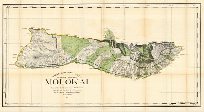
E. Molokai, dated 1897, printed color (48.3 x 25.3").
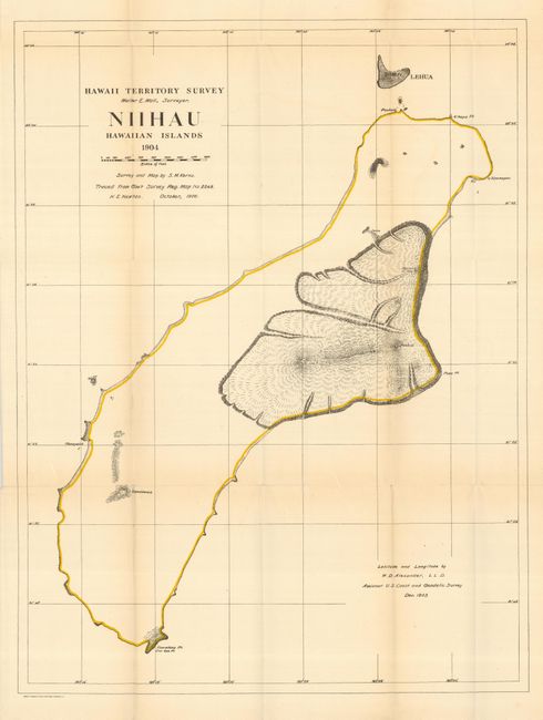
F. Niihau Hawaiian Islands, dated 1906, printed color (19.1 x 25.4").
References:
Condition: B
The maps are good to mostly very good with some minor toning, light color offsetting, and a number of small splits along the folds. The map of Molokai has a 10" fold separation at left. Issued folding.