Subject: Southern Florida, Miami
Period: 1898 (circa)
Publication:
Color: Printed Color
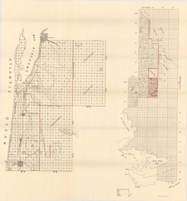
A. [Map of the Area Between Miami and Fort Lauderdale] (22.3 x 23.6"). Two maps on one sheet. The first map (approximately 13 x 18") shows the area between Miami and Fort Lauderdale along the coast and the nearby Everglades with “unsurveyed” overlaying much of the Everglades. Early street grid patterns are shown for Miami, Fort Lauderdale, Modelo, and Holland with the Florida East Coast Railway connecting all four. The Florida East Coast Railway reached Miami in 1896 when the population of the settlement was only about 50. The second map on the sheet (approx. 7.5 x 24") depicts the western part of the Everglades near Ponce de Leon Bay and the Ten Thousand Islands. Everglades boundaries are shown in color.
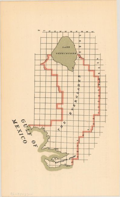
B. [The Everglades] (4.4 x 6.4"). A small map from the same report showing the entire boundaries of the Everglades in 1898.
References:
Condition: A+
Fine.