Subject: Colorado
Period: 1874 (published)
Publication:
Color: Black & White
Size:
6 x 9 inches
15.2 x 22.9 cm
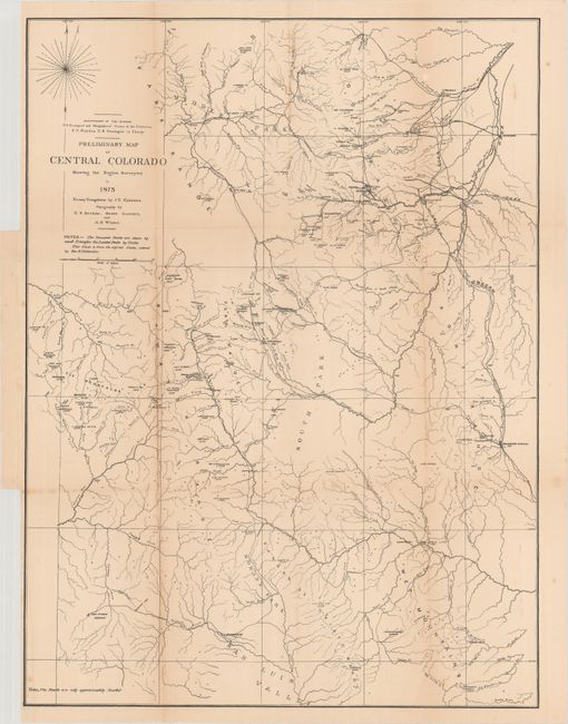
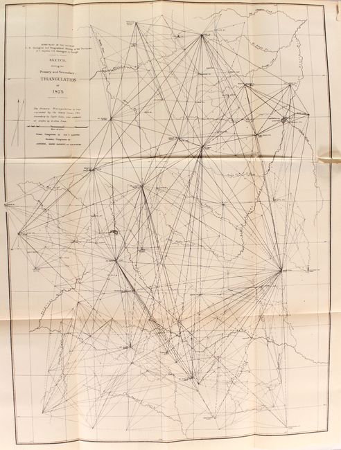
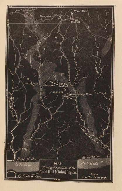
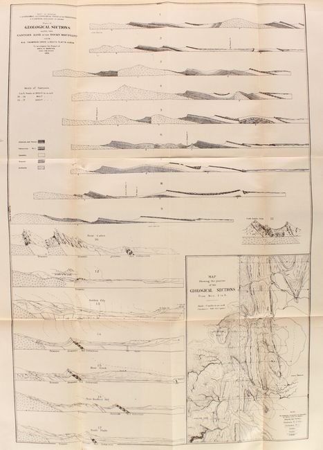
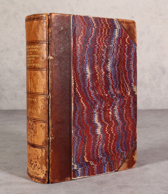
This is the Seventh Report from the seminal Hayden survey, covering Colorado. The work is divided into four main parts: Geology, Mineralogy, and Mining Industry; Special Reports on Paleontology; Zoology; and Geography and Topography. There are two appendices, one by Arch. R. Marvine focusing on the Gold Hill Mining Region, and the other by B. Silliman describing the Telluride ores. There are 11 maps, 7 of them folding, and copious illustrations throughout the text, including 10 folding plates. Wheat cites one map, Preliminary Map of Central Colorado Showing the Region Surveyed in 1873 (17.2 x 22.8"), as evidence that Hayden and his survey "were becoming much more knowledgeable about map construction" in the lead-up to his lauded Atlas of Colorado (1877). The map, with primary triangulation by J.T. Gardner and topography by G.R. Bechler, Henry Gannett, and A.D. Wilson, depicts field operations in the region and identifies occupied areas with triangles and located peaks with circles. 718 pp. Hardbound in quarter leather with tips over marbled boards and gilt title on spine.
References: Wheat (TMW) #1239.
Condition: B+
Condition code is for the contents. The folding map of central Colorado is detached with light toning and a few spots of foxing. The other plates/text are very good to near fine with occasional toning, and a faint dampstain is confined to the right blank margin of the text. Covers and spine are worn, the front cover is detached, and the rear cover is nearly detached.