Subject: Western United States
Period: 1878-79 (dated)
Publication: Sen. Ex. Doc. 120, 46th Congress, 2nd Session
Color: Black & White
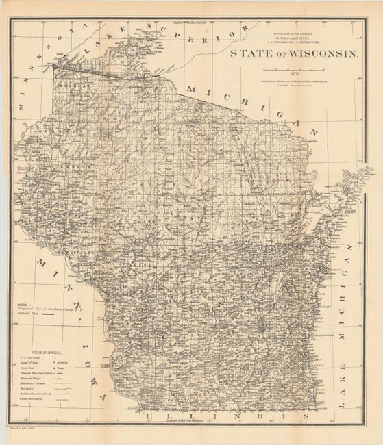
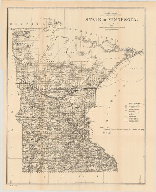
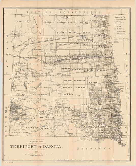
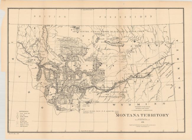
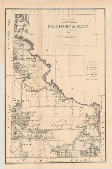
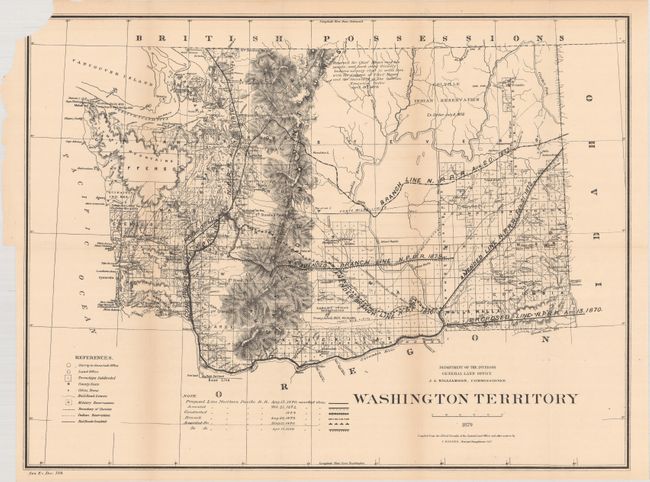
This lot of 6 maps shows the entire proposed course of the Northern Pacific Railroad from Lake Superior to Washington Territory with amendments as of 1879. In addition to the railroad detail, the map locates land offices, townships, cities, towns and military reservations. The map of Washington Territory includes an interesting note stating that the northern portion of the territory was “Reserved for Chief Moses and his people, and such other friendly Indians as may elect to settle here with the consent of, Chief Moses and the Secretary of the Interior.” Drawn by C. Roeser, Principal Draughtsman.
A. State of Wisconsin, dated 1878 (18.0 x 19.9"). Condition: (A)
B. State of Minnesota, dated 1879 (16.6 x 21.1"). Condition: (A)
C. Territory of Dakota, dated 1879 (17.6 x 21.0"). Condition: (A)
D. Montana Territory, dated 1879 (21.1 x 14.9"). Condition: There is a small repaired tear and tiny hole in an unengraved area of the image along the bottom border. (B+)
E. Territory of Idaho, dated 1879 (13.8 x 21.1"). Condition: (A)
F. Washington Territory, dated 1879 (21.1 x 15.9"). Condition: There is a chip in the top left corner of the sheet with small loss of border. (B)
References:
Condition:
Issued folding with binding trims at lower left. See description above.