Subject: Western United States, Utah
Period: 1852 (published)
Publication:
Color: Black & White
Size:
6.2 x 9.2 inches
15.7 x 23.4 cm
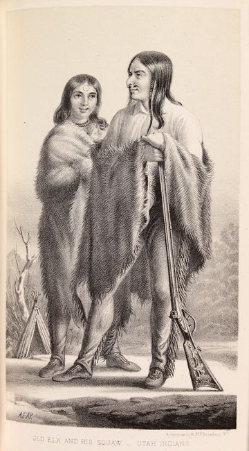
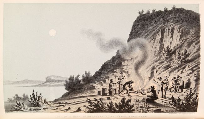
This is a great pair of maps and comprehensive report based upon Stansbury's famous explorations in Utah. The report documents Stansbury's trek from Fort Leavenworth to the Great Salt Lake and his circumnavigation around the entire Great Salt Lake. Stansbury's accounts included the study of the Indian tribes, the Mormons, and an extensive appendix on Geology, Botany and Zoology. The report includes 53 (of 58) plates of views (with several very long folding views), reptiles, insects, and plants. The report is missing the 5 fossil plates. The maps included are:
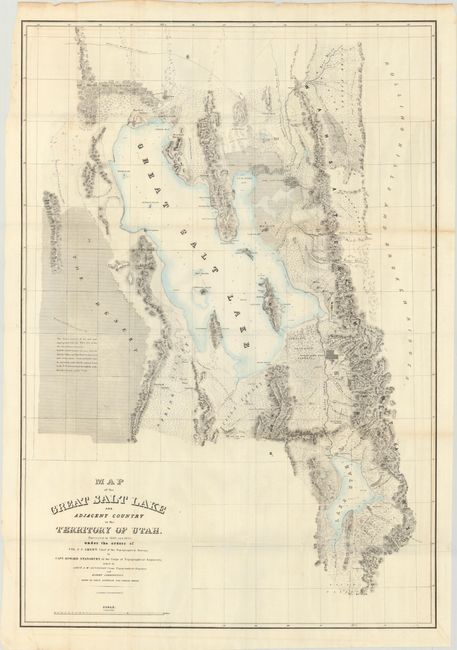
A. Map of the Great Salt Lake and Adjacent Country in the Territory of Utah..., hand color (29.8 x 43.0"). This map details Stansbury's important exploration of the Great Salt Lake Basin that permanently established much topography and many of the place names of northwestern Utah. It extends from the 42nd parallel and includes the Wasatch Mountains, Cache Valley and Ogden's Hole, and south to include Lake Utah and the Youab Valley. Indian, as well as Mormon, names are given for the creeks. A wonderful notation in The Desert west of the lake provides important information for travelers, "This desert consists of clay and sand impregnated with salt. When wet, it has the consistency of mortar. Lightly loaded wagons can pass between Spring Valley and Pilot Peak in the driest part of the season. Forage and water must be carried for cattle, and the journey begun in the P. M. and continued through the night. Distance between springs 70 ms." Lithographed by Ackerman. Condition: A clean and bright example, issued folding, with a few short splits at the fold intersections. (A)
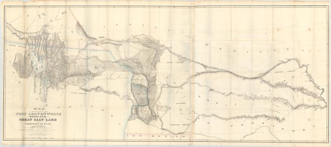
B. Map of a Reconnoissance Between Fort Leavenworth on the Missouri River, and the Great Salt Lake in the Territory of Utah..., hand color (67.8 x 28.3"). Made under the orders of Col. J.J. Albert, chief of the Topographical Bureau, by Capt. Howard Stansbury of the Corps of Topographical Engineers, aided by Lieut. J.W. Gunnison and Albert Carrington. Drawn by Lieut. Gunnison and Charles Preuss. Thus bringing together some of the most important names in Western cartography. This immense map covers the Great Plains, Colorado, Wyoming and Utah in considerable detail on a scale of 1" to about 16 miles. The detail is particularly evident in present-day Colorado, the Laramie Mountains (here labeled Black Hills), and in the vicinity of Salt Lake. Wheat devotes more than eight pages of text to this map, calling it "one of the most important [maps] of its decade, bringing permanently into Western cartography a number of outstanding details." Lithographed by Ackerman. On two sheets joined together, as issued. Condition: Issued folding with some scattered foxing at right and a few short splits at the fold intersections. (B+)
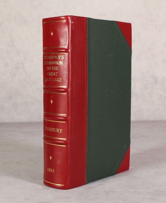
Octavo. 487 pages. Hardbound in faux quarter leather with tips over green marbled boards with gilt title on the spine. The maps are housed in a pocket attached to the inside rear cover.
References: Wagner-Camp #219:2; Wheat (TMW) #765 & #764; Howes #S-884.
Condition: B+
See description above for condition details of the maps. The plates and text are very good with pleasant light toning. Modern binding is near fine.