Subject: Central United States, Mid-Atlantic
Period: 1818 (published)
Publication:
Color: Hand Color
Size:
16 x 12 inches
40.6 x 30.5 cm
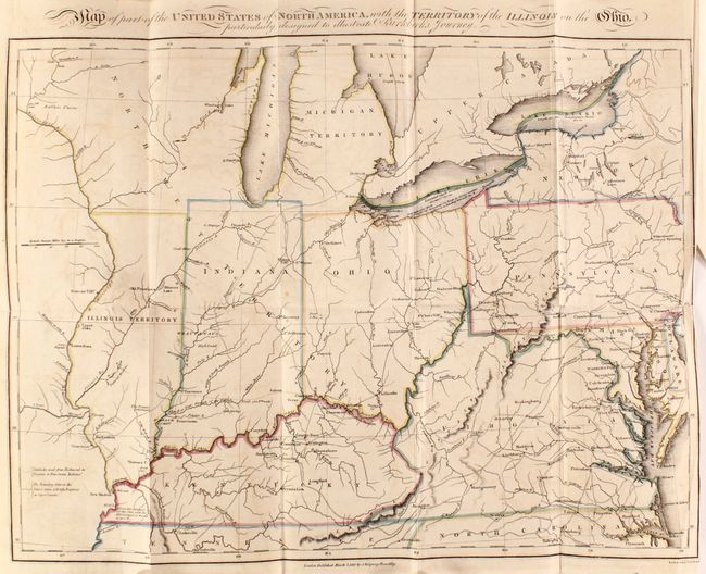
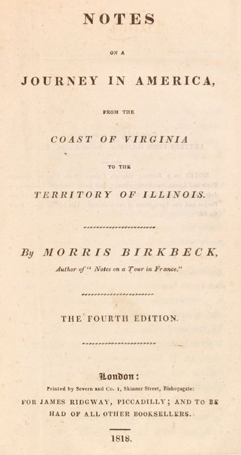
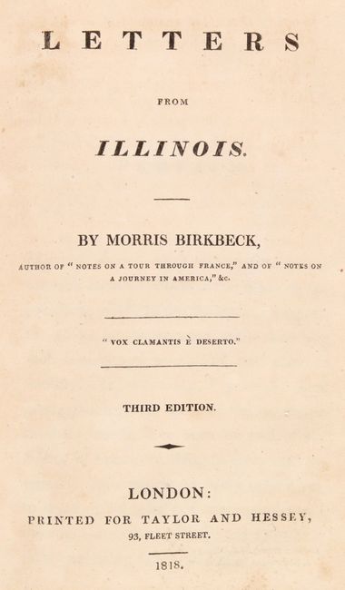
This is the fourth of eleven editions of this popular work. The journal is an account of Morris Birkbeck's emigration to the United States and his experience traveling from Virginia to Illinois Territory. In the work, he writes about his intent to establish a wilderness sanctuary, which appealed to many middle-class Europeans. The text includes a map covering the region from Virginia to the lower Great Lakes, including the new state of Indiana as well as Illinois and Northwest Territories. It depicts Birkbeck's journey from the Northern Neck of Virginia to Washington DC, Pittsburgh, Cincinnati, and finally Princeton, Indiana. Of cartographic interest, it shows Illinois approximately 50 miles too far to the west of Lake Michigan, with Indiana completely surrounding the southern part of the lake. Also shows the river system and numerous forts, towns and villages. Published by James Ridgway. 156 pages. Octavo, hardbound in quarter leather over marbled paper boards, with gilt tooling and title on spine. The third edition of Letters from Illinois is bound in as well. 114 pages.
References: Howes #B-468.
Condition: B+
The map is issued folding with minor offsetting, a couple small spots, and a 1.5" binding tear and a few short fold separations, most of which have been closed with archival tape on verso. Text is good with some minor scattered foxing. Hinges have been repaired with cello tape. Covers are lightly soiled and worn with binding tape along the spine.