Subject: Eastern United States
Period: 1836 (published)
Publication:
Color: Hand Color
Size:
22.3 x 18.5 inches
56.6 x 47 cm
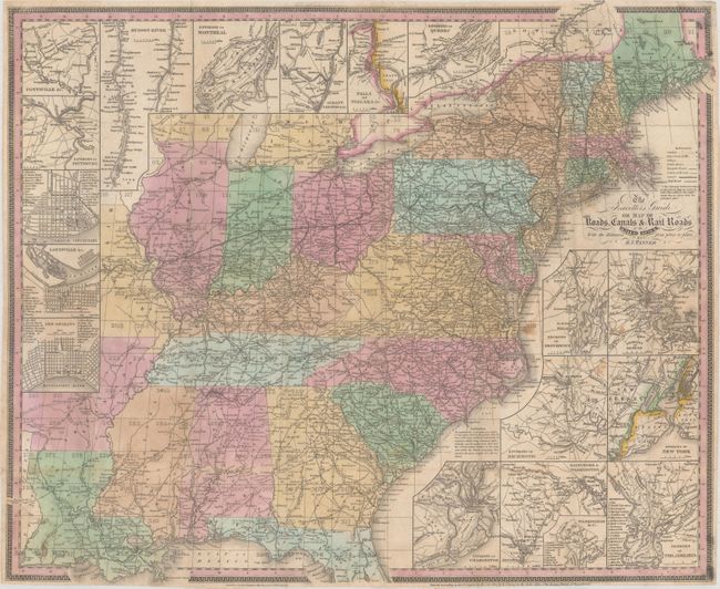
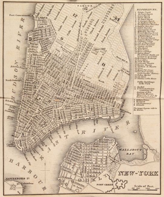
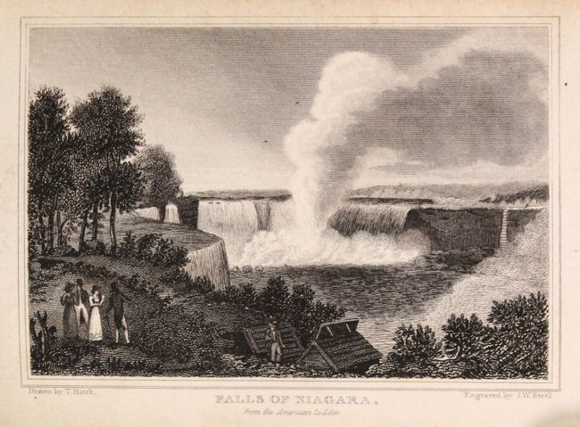
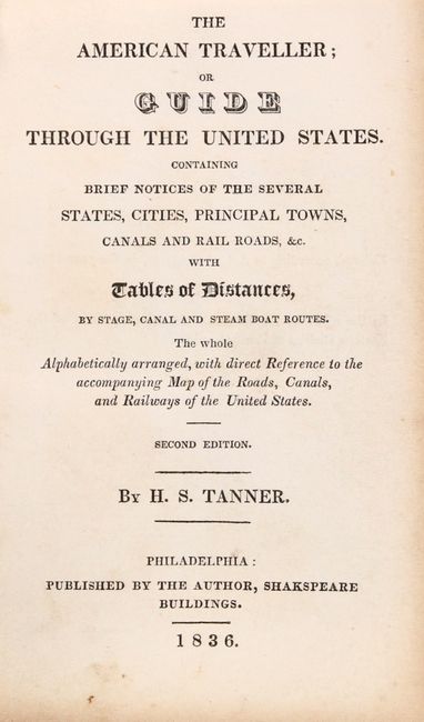
This handsome and detailed map depicts the eastern United States, stretching west of the Mississippi to include parts of Arkansas and Missouri. The map locates capitals, important towns, villages, public houses, turnpike and common roads, and railroads. It also identifies distances between towns. A numbered grid overlaying the map keys to the accompanying guide. 18 insets surround the map, showing city plans, the surroundings of various cities, and a map of the Hudson River. The accompanying pocket traveler's guide features four double-page plans of major American cities, covering Baltimore, Boston, New York, and Philadelphia. There are also seven small views, including two of Niagara Falls and one of West Point. As Tanner emphasizes in his preface, the work is a concise collection of facts useful to the traveler: population figures; distances; stagecoach, canal, and steamboat routes between major cities; "principal object of curiosity" in or around larger towns; and more. 144 pages. Hardbound in brown cloth boards.
References: Howes #T-24; Sabin #94311.
Condition: B+
The map is issued folding with light spots and tiny splits on fold intersections. Text is toned along the edges with some scattered foxing. Hinges have been repaired with two different types of non-archival tape. Covers are soiled and worn with tape stains on front and back. There is binding tape along the spine.