Catalog Archive
Auction 176, Lot 769

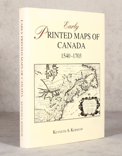
"Early Printed Maps of Canada I. 1540-1703", Kershaw, Kenneth A.
Subject: References, Canada

Period: 1993 (published)

Publication:

Color: Black & White

Size:
8.9 x 11.4 inches
22.6 x 29 cm
Download High Resolution Image
(or just click on image to launch the Zoom viewer)

A great reference for identifying, attributing and dating early maps of Canada. The 321 entries are profusely illustrated and the entries are well documented. First in a four-volume series - this volume begins with Munster's map of the Americas and concludes with the numerous states of Delisle's 1703 map of Canada and the maps of Lahontan. Hardbound in red buckram with gilt titles on cover and spine and an illustrated dust jacket.

References:

Condition: A

Contents and covers are near fine. Dust jacket has a faint damp stain at top and some minor soiling.

Estimate: $120 - $150

Sold for: $110

Closed on 2/12/2020

Archived