Subject: References, Washington, D.C. & Maryland
Period: 1900-82 (published)
Publication:
Color:
A. List of Maps and Views of Washington and District of Columbia in the Library of Congress, by P. Lee Phillips, published 1900, black & white (6.3 x 9.4"). Phillips' germinal list of maps and views from the collection in the Library of Congress is still important and useful despite being originally created over 100 years ago. It was a cartographical as well as a bibliographical report. The slim volume contains information on maps and views from 1782 to 1900. An excellent reference for Washington, D.C. enthusiasts. 8vo. Bound in modern cloth over paper. Condition: Contents are lightly toned with some minor tears. Covers have minor soiling. (B+)
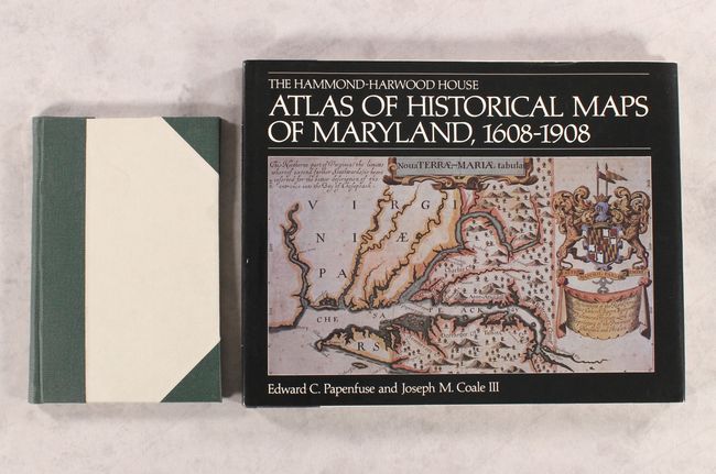
B. The Hammond-Harwood House - Atlas of Historical Maps of Maryland, 1608-1908, by Edward C. Papenfuse and Joseph M. Coale III, published 1982, printed color (14.4 x 11.3"). This reference traces the cartographic history of Maryland from its appearance on John Smith's 1608 Virginia map into the early twentieth century. It covers all the most notable maps of the state with an informative description to provide context for each one. The book includes 141 reproductions, 15 of which appear in full color. Hardbound in black and white cloth with an embossed insignia on the front cover and gilt titles on the spine. Also includes an illustrated dust jacket. 127 pp. Condition: Contents and covers near fine. Minor shelf wear to the dust jacket. (A)
References:
Condition:
See description above.