Catalog Archive
Auction 176, Lot 637
"Carte des Isles de Comore Johanna ou Anjouan Mohilla ou Moaly et Mayote Dressee sur les Remarques des Navigateurs", Bellin, Jacques Nicolas
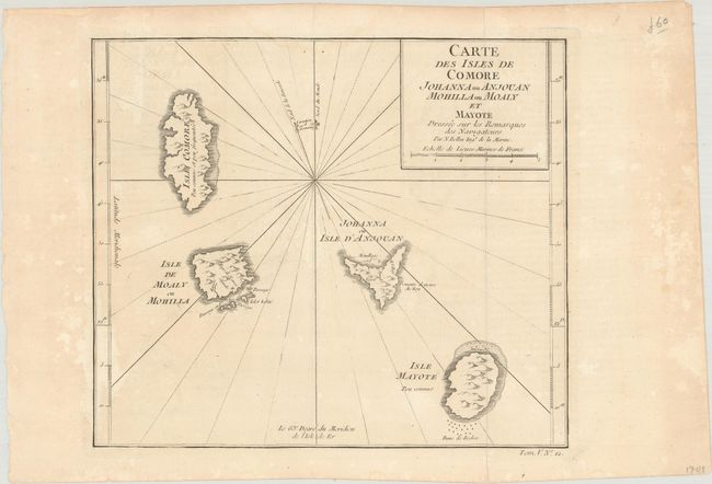
Subject: Comoro Islands
Period: 1748 (circa)
Publication:
Color: Black & White
Size:
10 x 8.6 inches
25.4 x 21.8 cm
Download High Resolution Image
(or just click on image to launch the Zoom viewer)
(or just click on image to launch the Zoom viewer)