Catalog Archive
Auction 176, Lot 58

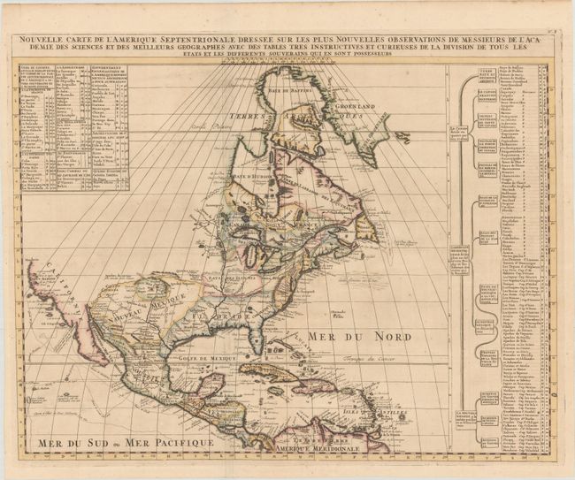
"Nouvelle Carte de l'Amerique Septentrionale Dressee sur les Plus Nouvelles Observations de Messieurs de l'Academie des Sciences...", Chatelain, Henry Abraham

Subject: Colonial North America

Period: 1719 (circa)

Publication: Atlas Historique

Color: Hand Color

Size:
23.4 x 18.6 inches
59.4 x 47.2 cm
Download High Resolution Image
(or just click on image to launch the Zoom viewer)

This is Chatelain's re-engraved version of Delisle's foundation map of North America. The cartography is nearly identical to the Delisle map, with California returned to its peninsular position rather than as an island. Mendocin is the farthest northern point on California, and the northwest portion of the continent is left blank. The Great Lakes are well-defined, based on Coronelli. The Mississippi River valley is well developed with recent French settlements. A chart to the right lists the primary divisions of North America with colonial interests, native tribes, and towns.

References: Lowery #263; Phillips (Atlases) #579.

Condition: A

A dark impression on a clean sheet of paper with a large elephant watermark, issued folding with minor toning. There are archival repairs to a few minor fold separations.

Estimate: $550 - $650

Sold for: $475

Closed on 2/12/2020

Archived